How Earth Observation Satellites Monitor Our Planet
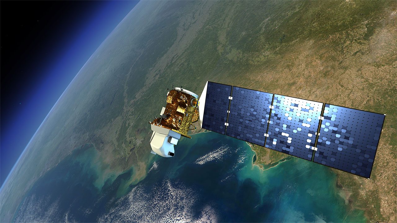
Earth observation satellites use remote sensing technology to collect data about the planet's surface, atmosphere, and oceans, providing critical insights for climate science and resource management.
Earth observation satellites are equipped with remote sensing technology to gather data about the planet's surface, atmosphere, and oceans. These satellites operate in various orbits, such as geostationary and polar, to provide comprehensive coverage. With over 18,000 active satellites, including the Landsat series, these instruments play a crucial role in environmental monitoring and disaster response.
How Do Earth Observation Satellites Work?
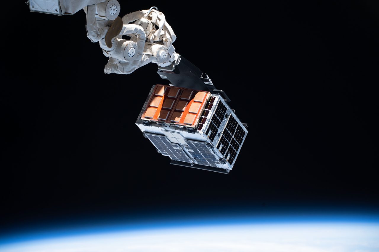
Earth observation satellites utilise sensors to detect electromagnetic radiation reflected or emitted from the Earth's surface. These sensors can be passive, relying on sunlight, or active, using onboard energy sources like radar. The data collected is transmitted back to Earth for analysis, enabling scientists to monitor changes in land use, vegetation, and atmospheric conditions.
Why Are Different Orbits Used?

Satellites are placed in different orbits to optimise their observational capabilities. Geostationary orbits, approximately 35,786 km above the equator, allow satellites to monitor the same area continuously, making them ideal for weather forecasting. Polar orbits, typically at altitudes of 700-800 km, enable global coverage as the Earth rotates beneath the satellite's path, essential for comprehensive environmental monitoring.
The Role of Remote Sensing in Earth Observation

Remote sensing involves collecting data from a distance, primarily through satellite-based instruments. This technology allows for the monitoring of large and inaccessible areas, providing critical information on climate change, deforestation, and natural disasters. The Earth Observation page on Orbital Radar offers further insights into the technology and applications.
Earth Observation Applications: Climate and Environment
Earth observation satellites are pivotal in climate science, offering data on atmospheric composition, sea level rise, and ice cover changes. This information aids in understanding global warming trends and developing mitigation strategies. Satellites like the Landsat series have been instrumental in tracking deforestation and urban expansion.
Earth Observation for Disaster Management
In disaster management, satellites provide real-time data on events such as hurricanes, floods, and wildfires. This information is crucial for emergency response and recovery efforts, enabling authorities to allocate resources effectively. The Satellite Eye tool on Orbital Radar offers live imagery to track ongoing events.
Key Takeaways
Earth observation satellites are vital for monitoring the planet's health and responding to environmental challenges. By providing detailed data on climate, land use, and natural disasters, these satellites support scientific research and policy-making. With advancements in technology, the scope and accuracy of earth observation continue to improve.