Satellite Imagery Explained: How Earth Observation Works
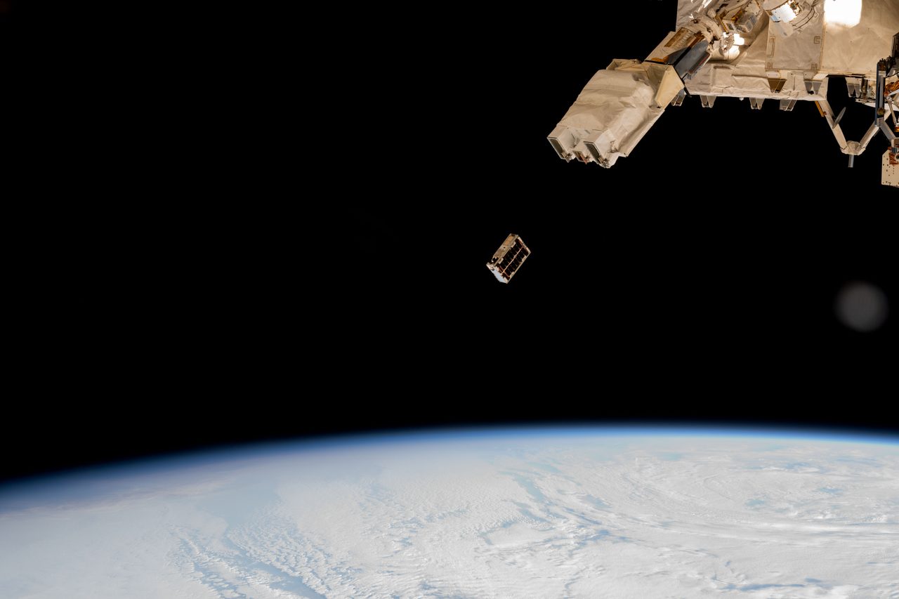
Satellite imagery is the process of capturing images of Earth from orbiting satellites, providing vital data for environmental monitoring, mapping, and more.
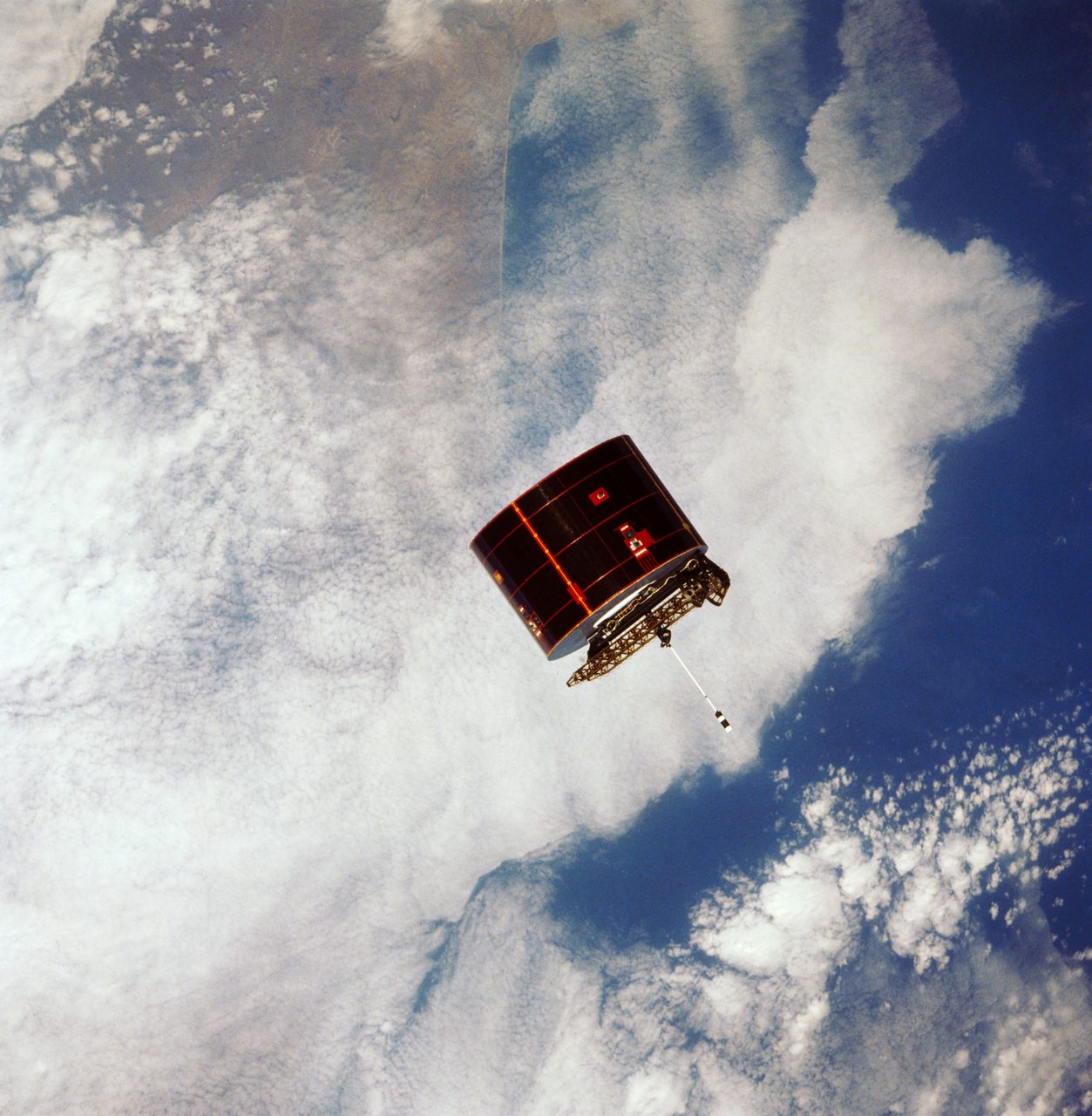
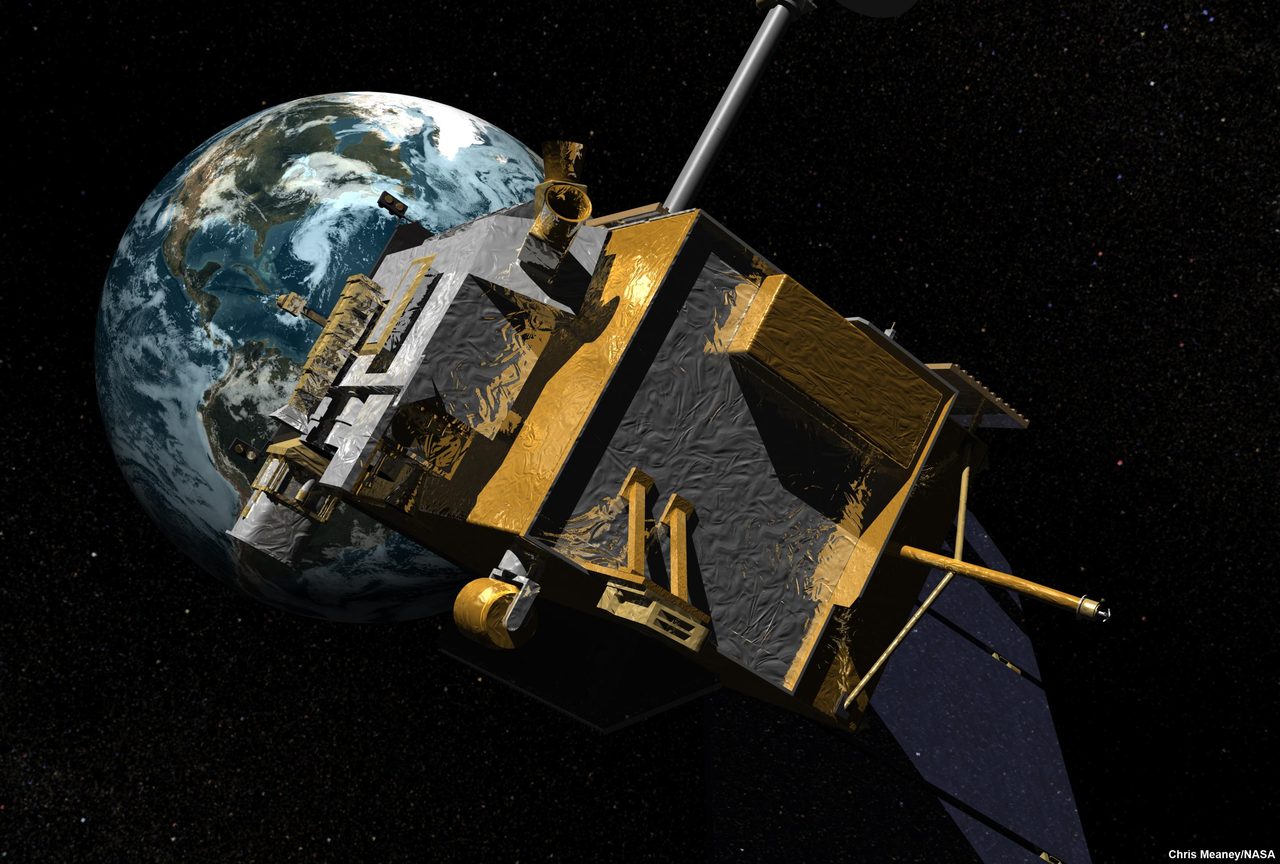
Satellite imagery involves capturing images of Earth from space using orbiting satellites equipped with cameras and sensors. These images are used for a variety of applications, including environmental monitoring, urban planning, and disaster response. As of 2023, there are 18,111 active satellites in orbit, according to Orbital Radar tracking data.
How Do Earth Observation Satellites Work?
Earth observation satellites are equipped with sensors that capture data in various wavelengths of light, from visible to infrared. These sensors can detect changes in vegetation, land use, and atmospheric conditions. The data collected is transmitted back to Earth for analysis. The Satellite Eye tool on Orbital Radar provides live satellite imagery.
Types of Orbits Used for Satellite Imagery
Satellites for Earth observation typically operate in low Earth orbit (LEO), which ranges from 180 to 2,000 kilometres above the Earth's surface. This proximity allows for high-resolution imagery. Geostationary orbit (GEO), at approximately 35,786 kilometres, is used for weather satellites, providing continuous coverage of the same area. More details can be found in the Types of Orbits section.
Applications of Satellite Imagery
Satellite imagery is crucial for monitoring environmental changes, such as deforestation and ice cap melting. It supports urban planning by providing detailed maps and is essential in disaster response, offering real-time data on affected areas. As of 8 September 2026, Orbital Radar's live catalogue lists 18,111 active payloads, many dedicated to these tasks.
Challenges and Limitations of Satellite Imagery
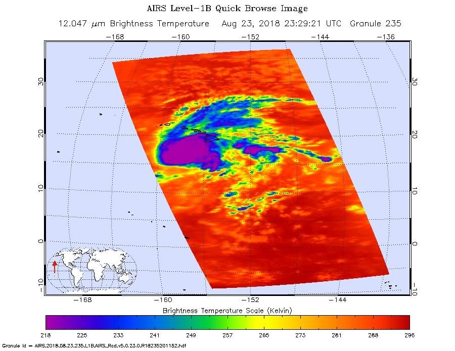
Despite its advantages, satellite imagery faces challenges such as cloud cover, which can obscure images, and the need for high-resolution data, which requires advanced technology and significant investment. Additionally, the increasing number of satellites, including 9,826 operational Starlink satellites, contributes to orbital congestion.
Key Takeaways
Satellite imagery is a powerful tool for observing and understanding our planet. With 18,111 active satellites, the technology continues to evolve, offering new insights and applications. While challenges remain, the benefits for environmental monitoring, urban planning, and disaster response are significant.
Frequently Asked Questions
What is satellite imagery used for?
How many satellites are currently in orbit?
What types of sensors do Earth observation satellites use?
What challenges does satellite imagery face?
How do satellites transmit data back to Earth?
📎 Cite this article
Orbital Radar Newsroom. (2026). Satellite Imagery Explained: How Earth Observation Works. Orbital Radar. https://orbitalradar.com/blog/satellite-imagery-explained"Satellite Imagery Explained: How Earth Observation Works." Orbital Radar, 8 June 2026, https://orbitalradar.com/blog/satellite-imagery-explained.@misc{orbitalradar_satellite_imagery_explained,
title = {Satellite Imagery Explained: How Earth Observation Works},
author = {{Orbital Radar}},
year = {2026},
howpublished = {\url{https://orbitalradar.com/blog/satellite-imagery-explained}}
}