Geostationary Orbit: How Satellites Hover Over One Spot

Geostationary orbit allows satellites to remain fixed over a single Earth location, crucial for communications and weather monitoring.
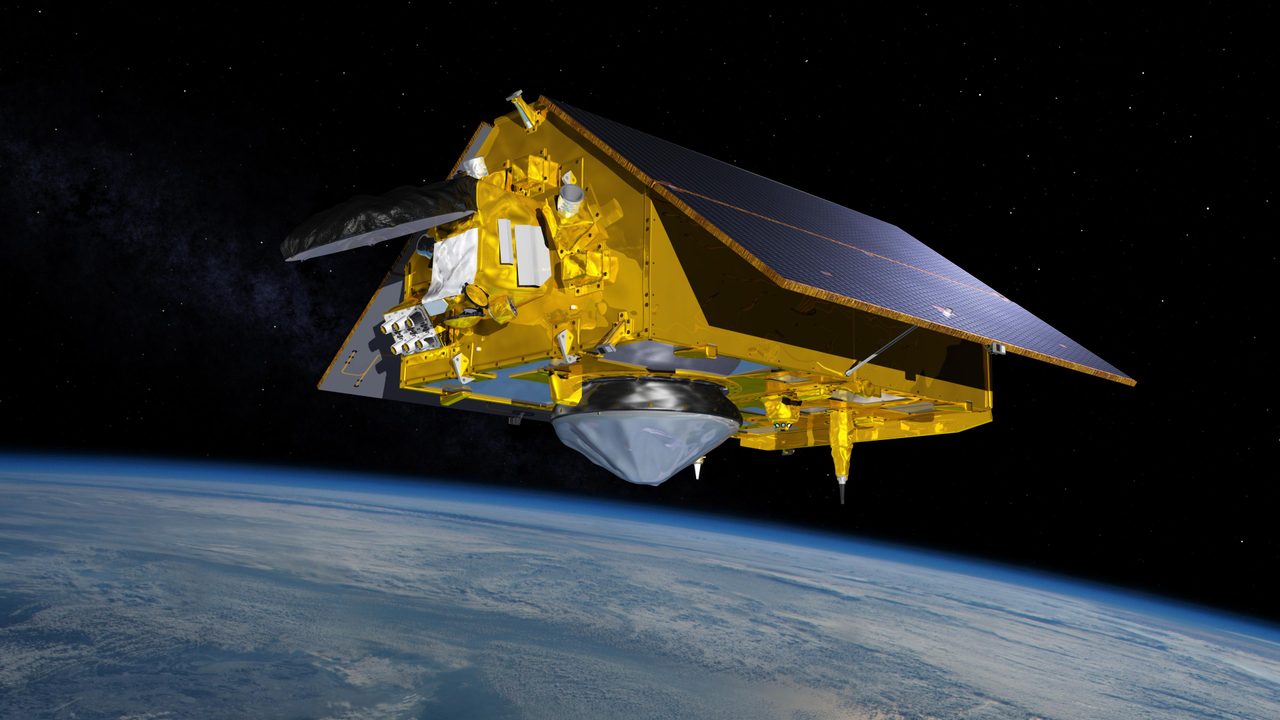
A geostationary orbit (GEO) is a circular orbit 35,786 kilometres above Earth's equator, allowing satellites to match Earth's rotation and appear stationary over a single longitude. This unique characteristic is vital for communications, weather monitoring, and broadcasting services.
How Does Geostationary Orbit Work?
Satellites in geostationary orbit revolve around Earth at the same rotational speed as the planet. This synchronisation requires a precise altitude of 35,786 km and an orbital period of 24 hours. The satellite's position directly above the equator ensures it remains fixed relative to the Earth's surface, a concept explained further in our geostationary glossary.
Why Is Geostationary Orbit Important?
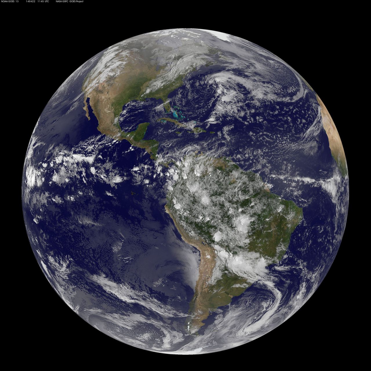
Geostationary orbits are crucial for uninterrupted communication signals, enabling real-time data transmission for television, radio, and internet services. Weather satellites in GEO provide consistent monitoring of atmospheric conditions, aiding in accurate forecasting. The orbit's strategic position is detailed in our types of orbits section.
Geostationary vs Other Orbits
Unlike low Earth orbit (LEO) or medium Earth orbit (MEO), which require multiple satellites for global coverage, a single geostationary satellite can cover a third of the Earth's surface. This efficiency makes GEO ideal for wide-area communications. For a deeper comparison, visit our orbit basics page.
Technical Challenges and Solutions
Maintaining a geostationary orbit requires precise control of satellite position and velocity. Challenges include gravitational perturbations from the Moon and Sun, which can cause orbital drift. Satellites employ onboard propulsion systems for station-keeping manoeuvres to counteract these forces.
Key Takeaways
Geostationary orbit is essential for stable, long-term satellite operations over fixed Earth locations. Its unique properties support critical infrastructures like global communications and weather forecasting. Understanding GEO's mechanics and challenges can enhance our appreciation of its role in modern technology.