Sentinel-2: Europe's Copernicus Imaging Workhorse
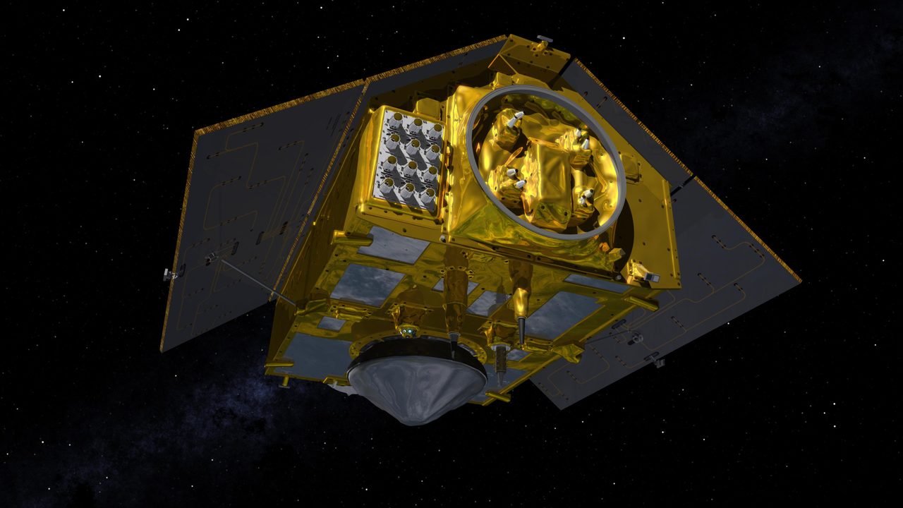
Sentinel-2 is a part of the European Space Agency's (ESA) Copernicus programme, which is the world's largest Earth observation initiative. The Sentinel-2 mission consists of two identical satellites, Sentinel-2A and Sentinel-2B, designed to provide high-resolution optical imagery for environmental m
| Active satellites | 15,723 |
| Catalogued objects | 31,381 |
| Starlink active | 9,839 |
What is Sentinel-2?
Sentinel-2 is a part of the European Space Agency's (ESA) Copernicus programme, which is the world's largest Earth observation initiative. The Sentinel-2 mission consists of two identical satellites, Sentinel-2A and Sentinel-2B, designed to provide high-resolution optical imagery for environmental monitoring. These satellites capture images in 13 spectral bands, offering vital data for agriculture, forestry, land use, and disaster management.
Mission and Purpose
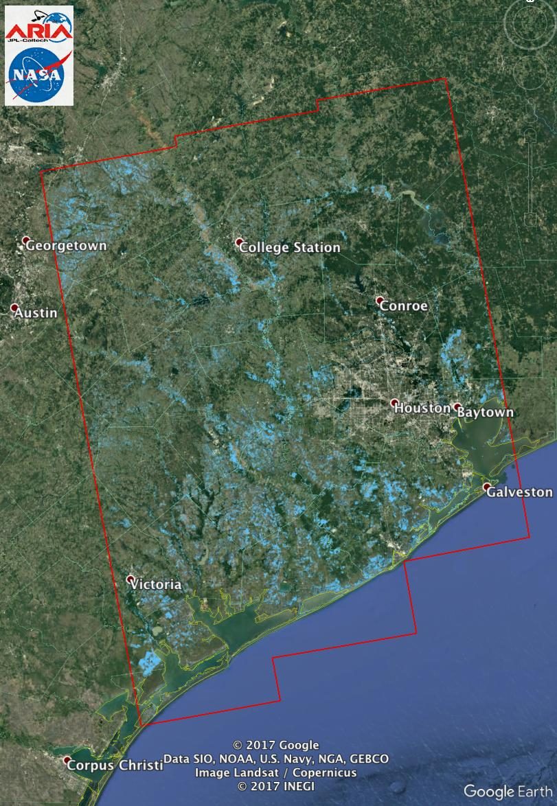
The primary mission of Sentinel-2 is to deliver detailed imagery that supports a range of applications, from monitoring vegetation health to assessing water quality. The data collected by Sentinel-2 satellites are crucial for managing natural resources and responding to emergencies such as floods and fires. By providing free and open access to its imagery, the Copernicus programme aims to foster innovation and support sustainable development globally.
Orbital Characteristics
Sentinel-2 satellites operate in a sun-synchronous orbit, which allows them to pass over the same area at the same local solar time, ensuring consistent lighting conditions for imaging. Sentinel-2A (NORAD ID: 40697) and Sentinel-2B (NORAD ID: 42063) orbit the Earth at an altitude of approximately 786 kilometres with an inclination of 98.6 degrees. Each satellite completes an orbit in about 100 minutes, covering the entire Earth's land surface every five days.
Significance and Legacy
Since the launch of Sentinel-2A in 2015 and Sentinel-2B in 2017, the mission has significantly enhanced our ability to monitor the Earth's surface. The high-resolution data provided by Sentinel-2 has been instrumental in tracking deforestation, urban expansion, and changes in agricultural practices. As part of the broader Copernicus programme, Sentinel-2 contributes to a more comprehensive understanding of our planet, aiding in climate change research and policy-making.
Current Status
As of now, both Sentinel-2A and Sentinel-2B continue to operate successfully, providing valuable data for a wide range of applications. According to Orbital Radar's live catalogue, these satellites are part of the 18,698 active payloads currently in orbit. The data from Sentinel-2 is continuously updated and can be accessed through the Orbital Radar Satellite Library, which offers detailed information on their current status and visible passes.
📎 Cite this article · data available
Orbital Radar Newsroom. (2026). Sentinel-2: Europe's Copernicus Imaging Workhorse. Orbital Radar. https://orbitalradar.com/blog/sentinel-2-copernicus-imaging-satellite"Sentinel-2: Europe's Copernicus Imaging Workhorse." Orbital Radar, 17 September 2026, https://orbitalradar.com/blog/sentinel-2-copernicus-imaging-satellite.@misc{orbitalradar_sentinel_2_copernicus_imaging_satellite,
title = {Sentinel-2: Europe's Copernicus Imaging Workhorse},
author = {{Orbital Radar}},
year = {2026},
howpublished = {\url{https://orbitalradar.com/blog/sentinel-2-copernicus-imaging-satellite}}
}