Envisat: The Giant Dead ESA Satellite and Collision Risk
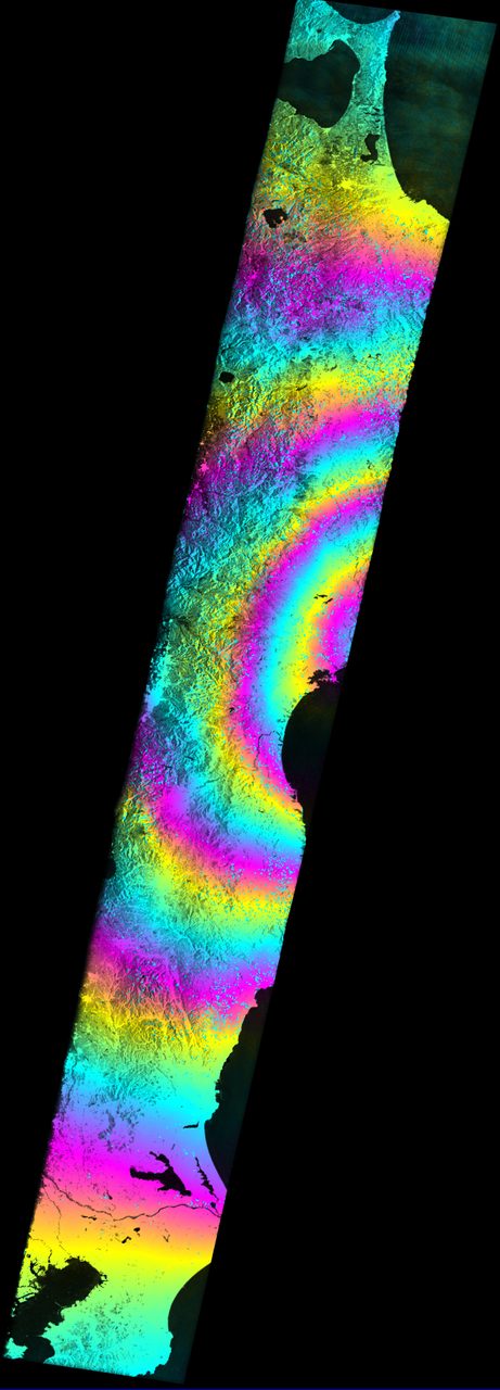
Envisat, launched by the European Space Agency (ESA) on 1 March 2002, was one of the largest Earth observation satellites ever constructed. With a mass of approximately 8,200 kilograms, it carried ten sophisticated optical and radar instruments to monitor the Earth's land, atmosphere, oceans, and ic
| Active satellites | 15,732 |
| Catalogued objects | 31,407 |
| Starlink active | 9,835 |
What is Envisat?
Envisat, launched by the European Space Agency (ESA) on 1 March 2002, was one of the largest Earth observation satellites ever constructed. With a mass of approximately 8,200 kilograms, it carried ten sophisticated optical and radar instruments to monitor the Earth's land, atmosphere, oceans, and ice caps. The satellite was designed to provide crucial data for environmental monitoring and climate change studies.
Mission and Purpose
Envisat's primary mission was to extend the datasets initiated by the earlier ERS satellites, enhancing the understanding of the Earth's environment. It provided data for a wide range of applications, including atmospheric chemistry, oceanography, and land surface monitoring. Envisat's instruments, such as the Advanced Synthetic Aperture Radar (ASAR) and the Medium Resolution Imaging Spectrometer (MERIS), enabled scientists to track changes in sea surface temperature, vegetation cover, and atmospheric pollution.
Orbital Characteristics
Envisat was placed in a Sun-synchronous orbit, which allowed it to pass over the same part of the Earth at the same local solar time, ensuring consistent lighting conditions for its optical instruments. It orbited at an altitude of approximately 790 kilometres, with an inclination of 98.55 degrees. The satellite completed an orbit approximately every 101 minutes. Envisat's NORAD ID is 27386, and its orbital parameters can be explored in detail on the Orbital Radar Satellite Library.
Significance and Legacy
During its operational life, Envisat provided invaluable data that contributed to over 4,000 scientific publications. Its observations helped improve climate models and supported disaster management efforts by providing rapid imagery of areas affected by natural disasters. Despite its mission ending unexpectedly in April 2012, the data collected by Envisat continues to be used by researchers worldwide.
Current Status and Collision Risk
Envisat remains in orbit as a significant piece of space debris, posing a collision risk to other satellites. Its large size and altitude make it a notable object in the debris environment, which currently includes 31,407 tracked objects, according to Orbital Radar's live catalogue. Efforts to mitigate collision risks involve tracking its position and potential close approaches, which can be monitored using Orbital Radar's Space Situational Awareness toolkit.
📎 Cite this article · data available
Orbital Radar Newsroom. (2026). Envisat: The Giant Dead ESA Satellite and Collision Risk. Orbital Radar. https://orbitalradar.com/blog/envisat-giant-dead-esa-satellite"Envisat: The Giant Dead ESA Satellite and Collision Risk." Orbital Radar, 20 September 2026, https://orbitalradar.com/blog/envisat-giant-dead-esa-satellite.@misc{orbitalradar_envisat_giant_dead_esa_satellite,
title = {Envisat: The Giant Dead ESA Satellite and Collision Risk},
author = {{Orbital Radar}},
year = {2026},
howpublished = {\url{https://orbitalradar.com/blog/envisat-giant-dead-esa-satellite}}
}