GOES-19: The Newest Geostationary Weather Eye
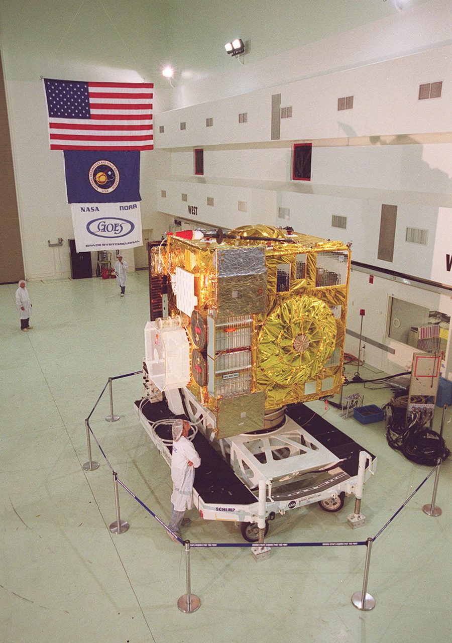
GOES-19 is the latest addition to the Geostationary Operational Environmental Satellites (GOES) series, managed by the National Oceanic and Atmospheric Administration (NOAA). This satellite is part of the GOES-R series, which includes GOES-16, GOES-17, and GOES-18.
| Active satellites | 15,723 |
| Catalogued objects | 31,358 |
| Starlink active | 9,839 |
What is GOES-19?
GOES-19 is the latest addition to the Geostationary Operational Environmental Satellites (GOES) series, managed by the National Oceanic and Atmospheric Administration (NOAA). This satellite is part of the GOES-R series, which includes GOES-16, GOES-17, and GOES-18. GOES-19 was launched to provide real-time weather monitoring and forecasting capabilities, enhancing the ability to track severe weather events and improve climate research.
Mission and Purpose
The primary mission of GOES-19 is to monitor weather conditions, atmospheric phenomena, and environmental changes. Equipped with advanced instruments like the Advanced Baseline Imager (ABI) and the Geostationary Lightning Mapper (GLM), GOES-19 provides high-resolution imagery and real-time data on weather patterns, including hurricanes, thunderstorms, and wildfires. This data is crucial for meteorologists and emergency services to make informed decisions and issue timely warnings.
Orbital Characteristics
GOES-19 is positioned in a geostationary orbit, meaning it remains fixed over a specific point on the Earth's surface. This orbit allows continuous observation of the same region, providing consistent weather data. The satellite orbits at an altitude of approximately 35,786 kilometres (22,236 miles) above the equator, with a period matching the Earth's rotation. Its NORAD ID is 49268, and it occupies a longitude of 137.2 degrees west, covering the Pacific Ocean and the western United States.
Significance and Legacy
GOES-19 continues the legacy of the GOES programme, which has been providing critical weather data since the launch of the first GOES satellite in 1975. The advancements in technology with each new satellite have significantly improved the accuracy and timeliness of weather forecasts. GOES-19's enhanced capabilities contribute to better understanding and response to climate change, severe weather events, and natural disasters, ultimately helping to save lives and protect property.
Current Status
As of now, GOES-19 is fully operational and actively contributing to NOAA's weather monitoring efforts. The satellite's data is accessible to meteorologists and researchers worldwide, supporting a wide range of applications from daily weather forecasts to climate studies. For those interested in tracking GOES-19's position and operational status, Orbital Radar's Satellite Library provides detailed information and updates.
📎 Cite this article · data available
Orbital Radar Newsroom. (2026). GOES-19: The Newest Geostationary Weather Eye. Orbital Radar. https://orbitalradar.com/blog/goes-19-geostationary-weather-satellite"GOES-19: The Newest Geostationary Weather Eye." Orbital Radar, 18 September 2026, https://orbitalradar.com/blog/goes-19-geostationary-weather-satellite.@misc{orbitalradar_goes_19_geostationary_weather_satellite,
title = {GOES-19: The Newest Geostationary Weather Eye},
author = {{Orbital Radar}},
year = {2026},
howpublished = {\url{https://orbitalradar.com/blog/goes-19-geostationary-weather-satellite}}
}