Envisat: The Giant Dormant ESA Satellite and Collision Risk
Envisat, launched by the European Space Agency (ESA) in 2002, was one of the largest Earth observation satellites ever constructed. With a mass of approximately 8,211 kilograms and dimensions comparable to a double-decker bus, Envisat was equipped with ten sophisticated instruments designed to monit
What is Envisat?
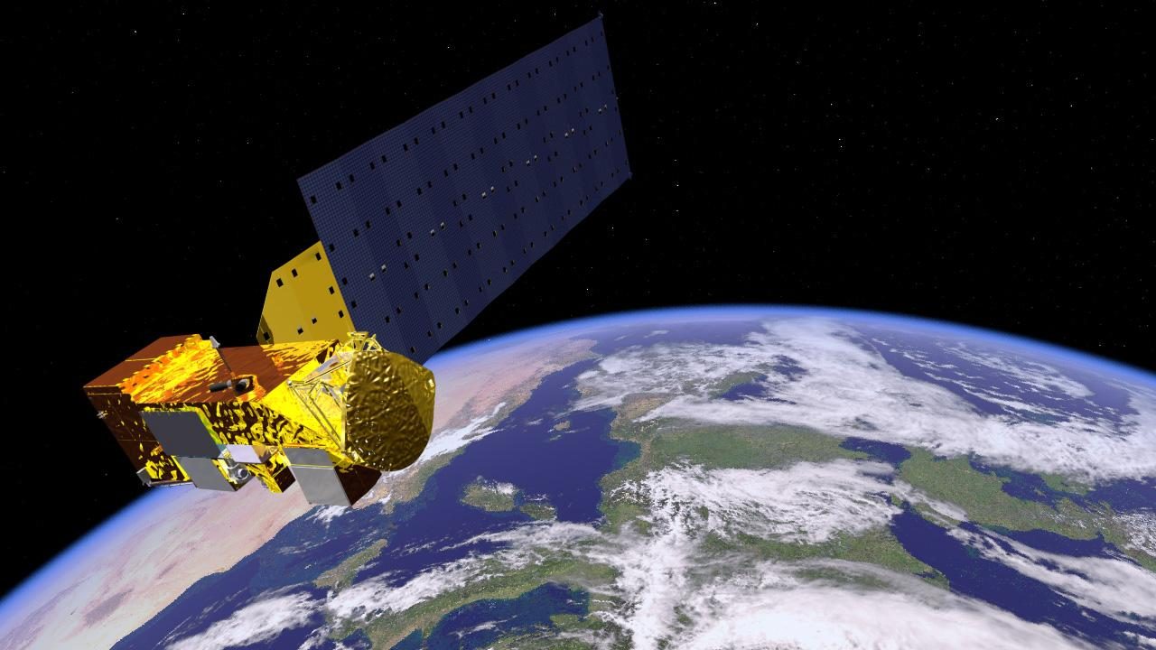
Envisat, launched by the European Space Agency (ESA) in 2002, was one of the largest Earth observation satellites ever constructed. With a mass of approximately 8,211 kilograms and dimensions comparable to a double-decker bus, Envisat was equipped with ten sophisticated instruments designed to monitor the Earth's environment. These instruments provided data on atmospheric chemistry, oceanography, and land surface changes. Envisat's mission was to continue the legacy of ESA's Earth observation programme, following in the footsteps of its predecessors like ERS-1 and ERS-2.
Mission and Purpose
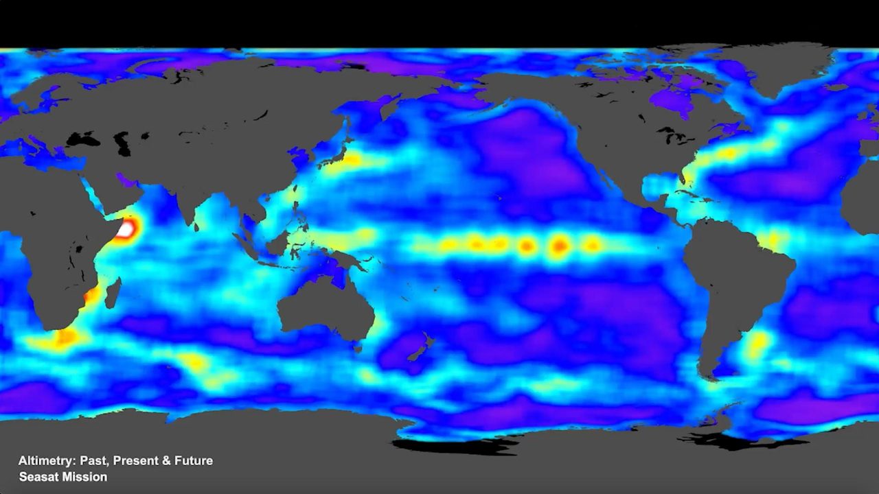
Envisat's primary mission was to deliver comprehensive data to support environmental and climate research. It played a crucial role in monitoring sea surface temperatures, atmospheric ozone levels, and ice sheet dynamics. The satellite's Advanced Synthetic Aperture Radar (ASAR) was pivotal in observing ice cover and ocean wave patterns, while the Medium Resolution Imaging Spectrometer (MERIS) provided insights into ocean colour and vegetation. Throughout its operational life, Envisat contributed significantly to our understanding of global environmental changes.
Orbital Characteristics
Envisat was placed into a Sun-synchronous orbit (an orbit that allows a satellite to pass over the same part of the Earth at roughly the same local solar time) at an altitude of approximately 790 kilometres. Its orbital inclination was about 98.5 degrees, allowing it to cover nearly all of the Earth's surface over a 35-day cycle. The satellite completed one orbit approximately every 100 minutes. Envisat's NORAD ID is 27386, and its orbital parameters can be explored in detail on the Orbital Radar Satellite Library.
Significance and Legacy
During its decade-long mission, Envisat provided invaluable data that supported over 4,000 projects in more than 70 countries. Its contributions to climate science, disaster monitoring, and environmental management have been widely acknowledged. The satellite's legacy is evident in the ongoing use of its data by researchers worldwide, even years after the mission ended. Envisat set a benchmark for future Earth observation missions and highlighted the importance of continuous environmental monitoring from space.
Current Status and Collision Risk
Envisat ceased communication with ground control in April 2012, rendering it a massive piece of space debris. Its size and altitude pose a significant collision risk in the crowded orbital environment. With 28,880 catalogued objects in orbit, including 8,756 pieces of debris, the potential for Envisat to collide with other objects is a concern for space agencies. The satellite's status is monitored closely, and its presence underscores the challenges of space debris management. Active close approaches, including those involving Envisat, can be tracked using the Orbital Radar Debris Map.
📎 Cite this article
Orbital Radar Newsroom. (2026). Envisat: The Giant Dormant ESA Satellite and Collision Risk. Orbital Radar. https://orbitalradar.com/blog/envisat-giant-dead-esa-satellite-collision-risk"Envisat: The Giant Dormant ESA Satellite and Collision Risk." Orbital Radar, 12 July 2026, https://orbitalradar.com/blog/envisat-giant-dead-esa-satellite-collision-risk.@misc{orbitalradar_envisat_giant_dead_esa_satellite_collisi,
title = {Envisat: The Giant Dormant ESA Satellite and Collision Risk},
author = {{Orbital Radar}},
year = {2026},
howpublished = {\url{https://orbitalradar.com/blog/envisat-giant-dead-esa-satellite-collision-risk}}
}