Understanding GLONASS-K: Russia's Navigation Satellite
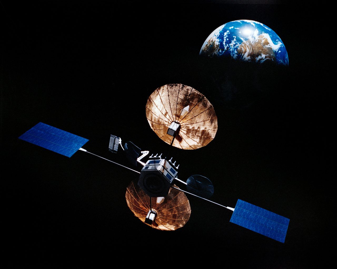
GLONASS-K is a series of Russian navigation satellites forming part of the GLONASS (Global Navigation Satellite System) constellation. Developed by the Russian Aerospace Defence Forces, these satellites are designed to provide accurate positioning and timing information globally.
| Active satellites | 15,724 |
| Catalogued objects | 31,459 |
| Starlink active | 9,888 |
What is GLONASS-K?
GLONASS-K is a series of Russian navigation satellites forming part of the GLONASS (Global Navigation Satellite System) constellation. Developed by the Russian Aerospace Defence Forces, these satellites are designed to provide accurate positioning and timing information globally. The GLONASS system, akin to the United States' GPS, is crucial for both military and civilian navigation applications. The GLONASS-K series represents a significant technological advancement over its predecessors, featuring improved accuracy and a longer operational lifespan.
Mission and Purpose
The primary mission of GLONASS-K satellites is to enhance the global positioning capabilities of the GLONASS constellation. These satellites transmit navigation signals on both L1 and L2 frequency bands, offering better precision for users. The GLONASS-K series is part of Russia's ongoing efforts to maintain and expand its global navigation capabilities, ensuring independence from foreign systems. The satellites support a wide range of applications, from military operations to civilian uses such as aviation, maritime navigation, and geodesy.
Orbital Characteristics
GLONASS-K satellites operate in medium Earth orbit (MEO) at an altitude of approximately 19,100 kilometres. They have an orbital inclination of 64.8 degrees, which allows them to cover high latitudes, including the Arctic region. Each satellite completes an orbit in approximately 11 hours and 15 minutes. The NORAD ID for one of the GLONASS-K satellites, for example, is 37829. These orbital parameters are designed to provide consistent and reliable coverage across the globe.
Significance and Legacy
The GLONASS-K series marks a significant step forward in Russia's navigation satellite technology. By incorporating advancements such as unpressurised payloads and a longer design life of up to 10 years, these satellites enhance the robustness and reliability of the GLONASS system. The introduction of GLONASS-K has helped maintain Russia's strategic autonomy in navigation, reducing reliance on other global systems. The system's significance is underscored by its role in national security, as well as its contribution to global positioning services.
Current Status
As of 2023, the GLONASS constellation includes several GLONASS-K satellites actively contributing to the system's operational capability. According to Orbital Radar tracking data, there are currently 15,724 active satellites in orbit, with GLONASS-K being a part of this total. The satellites continue to function as intended, providing essential navigation services to users worldwide. For detailed tracking and orbital information, the GLONASS-K satellite profile can be accessed on the Orbital Radar Satellite Library.
📎 Cite this article · data available
Orbital Radar Newsroom. (2026). Understanding GLONASS-K: Russia's Navigation Satellite. Orbital Radar. https://orbitalradar.com/blog/glonass-k-navigation-satellite"Understanding GLONASS-K: Russia's Navigation Satellite." Orbital Radar, 24 September 2026, https://orbitalradar.com/blog/glonass-k-navigation-satellite.@misc{orbitalradar_glonass_k_navigation_satellite,
title = {Understanding GLONASS-K: Russia's Navigation Satellite},
author = {{Orbital Radar}},
year = {2026},
howpublished = {\url{https://orbitalradar.com/blog/glonass-k-navigation-satellite}}
}