How to Track Satellites: A Comprehensive Guide
Discover how to track satellites in orbit, including understanding orbital parameters and using tracking tools effectively.
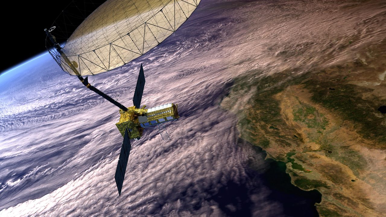
Tracking satellites involves using data on their orbits to predict their positions in the sky. With 18,070 active satellites, understanding orbital parameters and using tools like the Orbital Radar pass predictor is essential.
Understanding Satellite Orbits
Satellites orbit Earth in predictable paths defined by parameters such as altitude, inclination, and eccentricity. These parameters help determine a satellite's trajectory and visibility. For example, the International Space Station (NORAD ID 25544) orbits at an altitude of approximately 420 km with an inclination of 51.6 degrees.
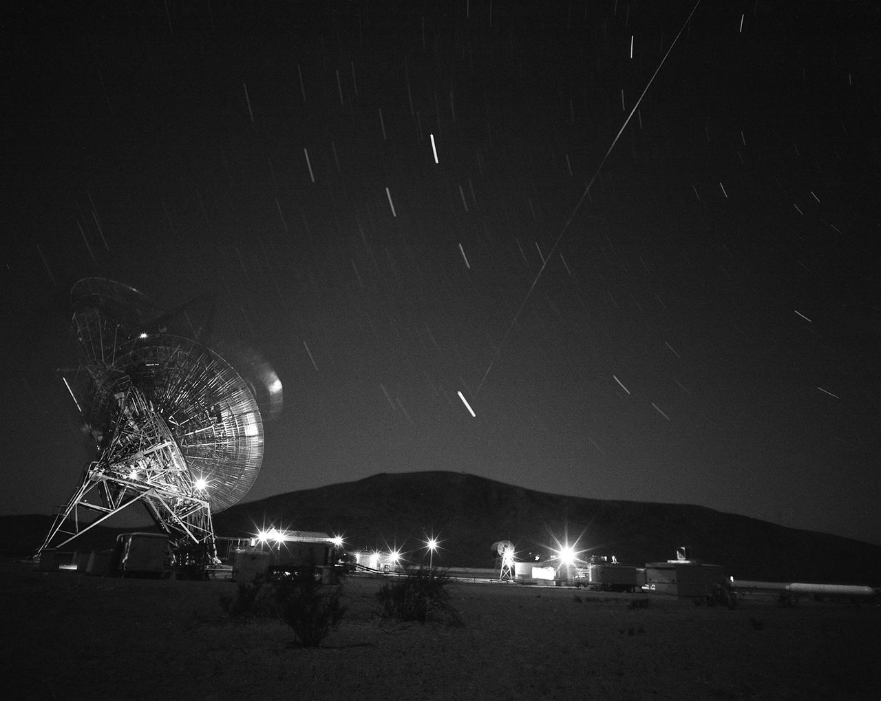
Tools for Satellite Tracking

Several tools are available for tracking satellites. Websites like Orbital Radar's Satellite Library provide detailed information on satellite positions. Apps and software can also predict visible passes, allowing observers to know when and where to look in the sky.
How to Use NORAD Data
NORAD (North American Aerospace Defense Command) provides Two-Line Element sets (TLEs) that describe satellite orbits. These are used by tracking software to predict satellite positions. Understanding how to read TLEs is crucial for accurate tracking.
Tracking Starlink Satellites
With 10,612 active Starlink satellites, tracking these requires specific tools. The Starlink Tracker offers real-time data on their positions. Starlink satellites are often visible due to their low Earth orbit and large numbers.
Key Takeaways
Tracking satellites involves understanding orbital mechanics and using the right tools. With thousands of satellites, including 9,343 operational Starlink units, knowing how to interpret data is essential for enthusiasts and professionals alike.