Sentinel-6: Measuring Sea Level from Orbit
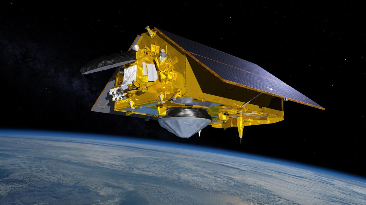
Sentinel-6 is a collaborative satellite mission between NASA, the European Space Agency (ESA), EUMETSAT, and NOAA, designed to measure sea level changes with unprecedented accuracy. Officially named Sentinel-6 Michael Freilich, the satellite honours the former director of NASA's Earth Science Divisi
What is Sentinel-6?
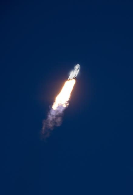
Sentinel-6 is a collaborative satellite mission between NASA, the European Space Agency (ESA), EUMETSAT, and NOAA, designed to measure sea level changes with unprecedented accuracy. Officially named Sentinel-6 Michael Freilich, the satellite honours the former director of NASA's Earth Science Division. Launched on 21 November 2020 aboard a SpaceX Falcon 9 rocket, it continues the legacy of the Jason series of satellites, providing critical data for climate monitoring and oceanography.
Mission and Purpose

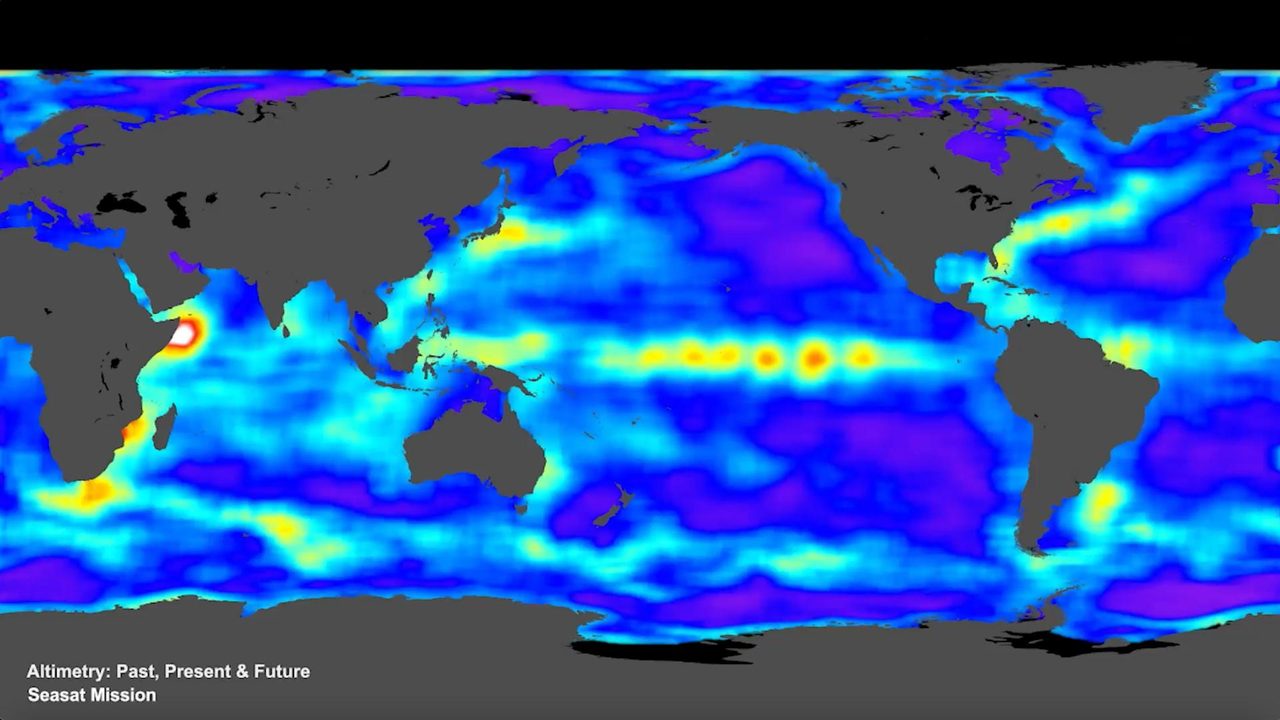
The primary mission of Sentinel-6 is to provide high-precision measurements of sea surface height, a key indicator of climate change. By monitoring global sea levels, the satellite helps scientists understand ocean currents, climate phenomena like El Niño and La Niña, and the impacts of global warming. The data collected supports weather forecasting and climate research, contributing to a comprehensive understanding of Earth's changing environment. Sentinel-6 is part of the Copernicus programme, which is the European Union's Earth observation initiative.
Orbital Characteristics

Sentinel-6 orbits the Earth at an altitude of approximately 1,336 kilometres and has an inclination of 66 degrees, allowing it to cover up to 95% of the world's ice-free oceans every 10 days. Its orbit is designed to follow the same path as its predecessors, Jason-3 and earlier missions, to ensure continuity of data. The satellite's NORAD ID is 46984, and it completes an orbit around the Earth approximately every 112 minutes. These precise orbital parameters enable it to maintain a consistent and reliable data stream.
Significance and Legacy
Sentinel-6 builds on nearly three decades of sea level measurements, continuing a critical climate record that began with the TOPEX/Poseidon mission in 1992. Its advanced radar altimeter provides data with an accuracy of a few centimetres, crucial for tracking sea level rise and its implications for coastal communities. The mission's data is freely available to researchers worldwide, fostering global collaboration in climate science. Sentinel-6's contributions are vital for policymakers and scientists working to mitigate and adapt to climate change.
Current Status
As of 2026, Sentinel-6 remains operational and continues to deliver valuable data on sea level trends. The satellite's performance has been consistently monitored, and it has successfully completed multiple calibration and validation phases. Its data is integrated into climate models and used by meteorological agencies to improve weather forecasts. For those interested in tracking its current orbit and operational status, detailed information is available on the Orbital Radar Satellite Library.