How Weather Satellites Work: A Complete Guide
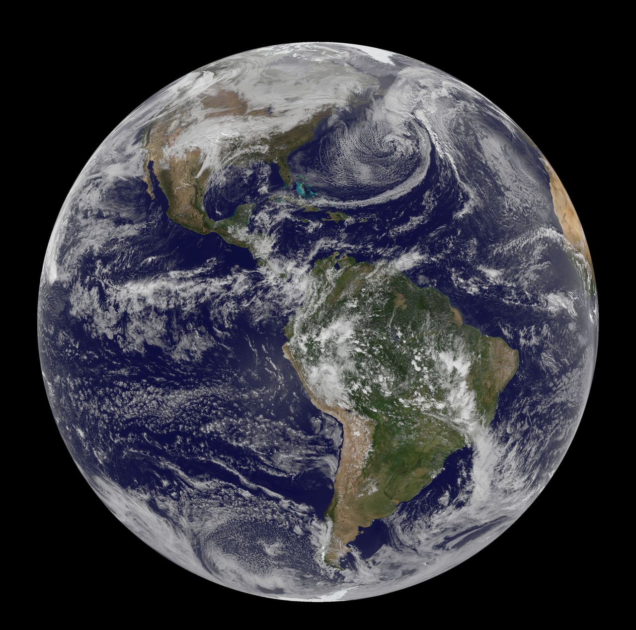
Weather satellites monitor Earth's atmosphere and surface, providing crucial data for forecasting. Learn how they operate and impact our daily lives.
| Active satellites | 15,790 |
| Starlink active | 10,064 |
| Catalogued objects | 31,541 |
| Active close approaches | 18 |
| People in space | 10 |
Weather satellites are spacecraft that orbit Earth, equipped with instruments to monitor atmospheric conditions, surface temperatures, and cloud formations. These satellites provide critical data for weather forecasting and climate monitoring, operating from various orbital positions to capture a comprehensive view of the planet.
Types of Weather Satellites

Weather satellites are primarily categorised into two types: geostationary and polar-orbiting. Geostationary satellites, such as the GOES series, maintain a fixed position relative to Earth's surface, orbiting at approximately 35,786 km above the equator. This allows them to continuously monitor the same region, providing real-time data crucial for short-term weather forecasting. In contrast, polar-orbiting satellites travel in a low Earth orbit (LEO), typically between 700 km and 800 km, passing over the poles and covering the entire globe over several orbits. This enables them to gather detailed data on a global scale, essential for long-term climate studies.
How Weather Satellites Collect Data
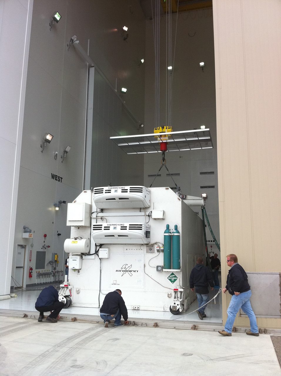
Weather satellites are equipped with a variety of sensors and instruments designed to collect data on different atmospheric parameters. These include radiometers, which measure the intensity of radiation emitted or reflected by the Earth's surface and atmosphere, and spectrometers, which analyse the spectrum of light to determine the composition of gases. The data collected is transmitted back to ground stations, where it is processed and used to create weather models. This data is crucial for predicting weather patterns, tracking storms, and monitoring environmental changes.
The Role of Weather Satellites in Forecasting

Weather satellites play a vital role in modern meteorology by providing data that enhances the accuracy of weather forecasts. By continuously monitoring atmospheric conditions, these satellites help meteorologists track the development and movement of weather systems. The data is integrated into numerical weather prediction models, which simulate the atmosphere's behaviour and predict future weather conditions. This information is essential for issuing timely weather warnings and preparing for severe weather events.
Weather Satellites and Climate Monitoring
In addition to weather forecasting, satellites are instrumental in climate monitoring. They provide long-term data sets that help scientists understand climate change and its impacts. By measuring variables such as sea surface temperatures, ice cover, and greenhouse gas concentrations, satellites contribute to our understanding of global warming and climate variability. This information is crucial for informing policy decisions and mitigating the effects of climate change.
Key Takeaways
Weather satellites are indispensable tools for monitoring Earth's atmosphere and surface. They provide real-time data for weather forecasting and long-term data for climate monitoring. Geostationary and polar-orbiting satellites complement each other, offering both regional and global perspectives. As of now, 15,790 active satellites are in orbit, with weather satellites playing a critical role among them.
Frequently Asked Questions
What is the difference between geostationary and polar-orbiting weather satellites?
How do weather satellites help in forecasting?
Why are weather satellites important for climate monitoring?
How many weather satellites are currently in orbit?
What instruments do weather satellites use to collect data?
📎 Cite this article · data available
Orbital Radar Newsroom. (2026). How Weather Satellites Work: A Complete Guide. Orbital Radar. https://orbitalradar.com/blog/weather-satellites-explainer"How Weather Satellites Work: A Complete Guide." Orbital Radar, 11 October 2026, https://orbitalradar.com/blog/weather-satellites-explainer.@misc{orbitalradar_weather_satellites_explainer,
title = {How Weather Satellites Work: A Complete Guide},
author = {{Orbital Radar}},
year = {2026},
howpublished = {\url{https://orbitalradar.com/blog/weather-satellites-explainer}}
}