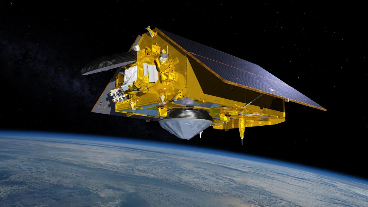
GOES Weather Satellites: Comprehensive Guide and Analysis
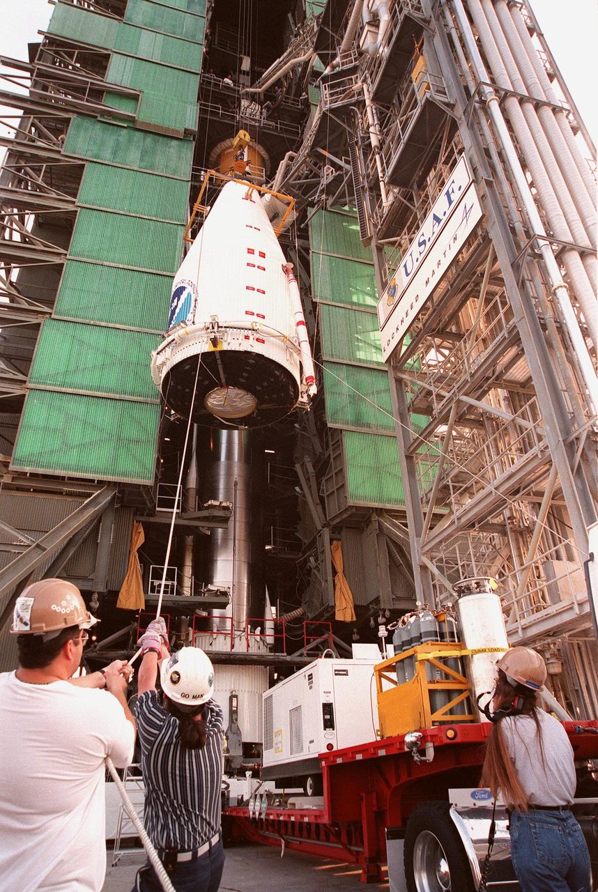
GOES weather satellites provide critical data for weather forecasting and monitoring. Discover their functions, history, and impact.
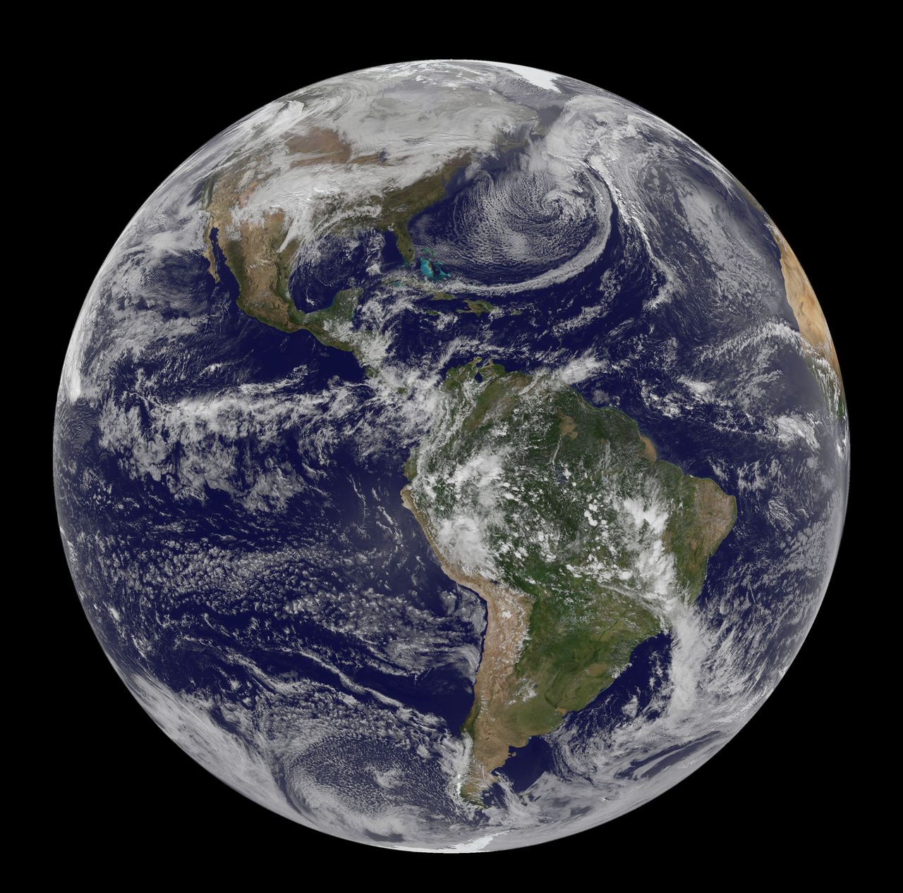
The Geostationary Operational Environmental Satellites (GOES) are a series of weather satellites operated by NOAA, providing real-time data crucial for weather forecasting and environmental monitoring. Positioned in geostationary orbit, they offer continuous observation of the Western Hemisphere, significantly enhancing meteorological capabilities.
How Do GOES Satellites Work?
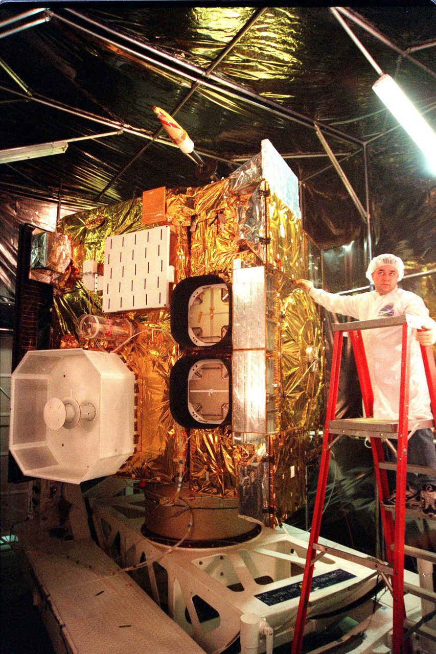
GOES satellites operate in a geostationary orbit, approximately 35,786 kilometres above the equator, allowing them to maintain a constant view of the same area on Earth. This orbit enables continuous monitoring of atmospheric conditions, crucial for tracking severe weather events. The satellites are equipped with advanced instruments like the Advanced Baseline Imager (ABI) and the Geostationary Lightning Mapper (GLM), which provide high-resolution imagery and lightning detection.
The Evolution of GOES Satellites
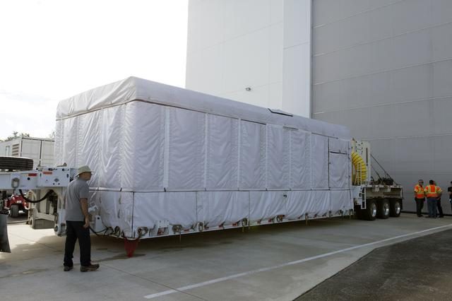
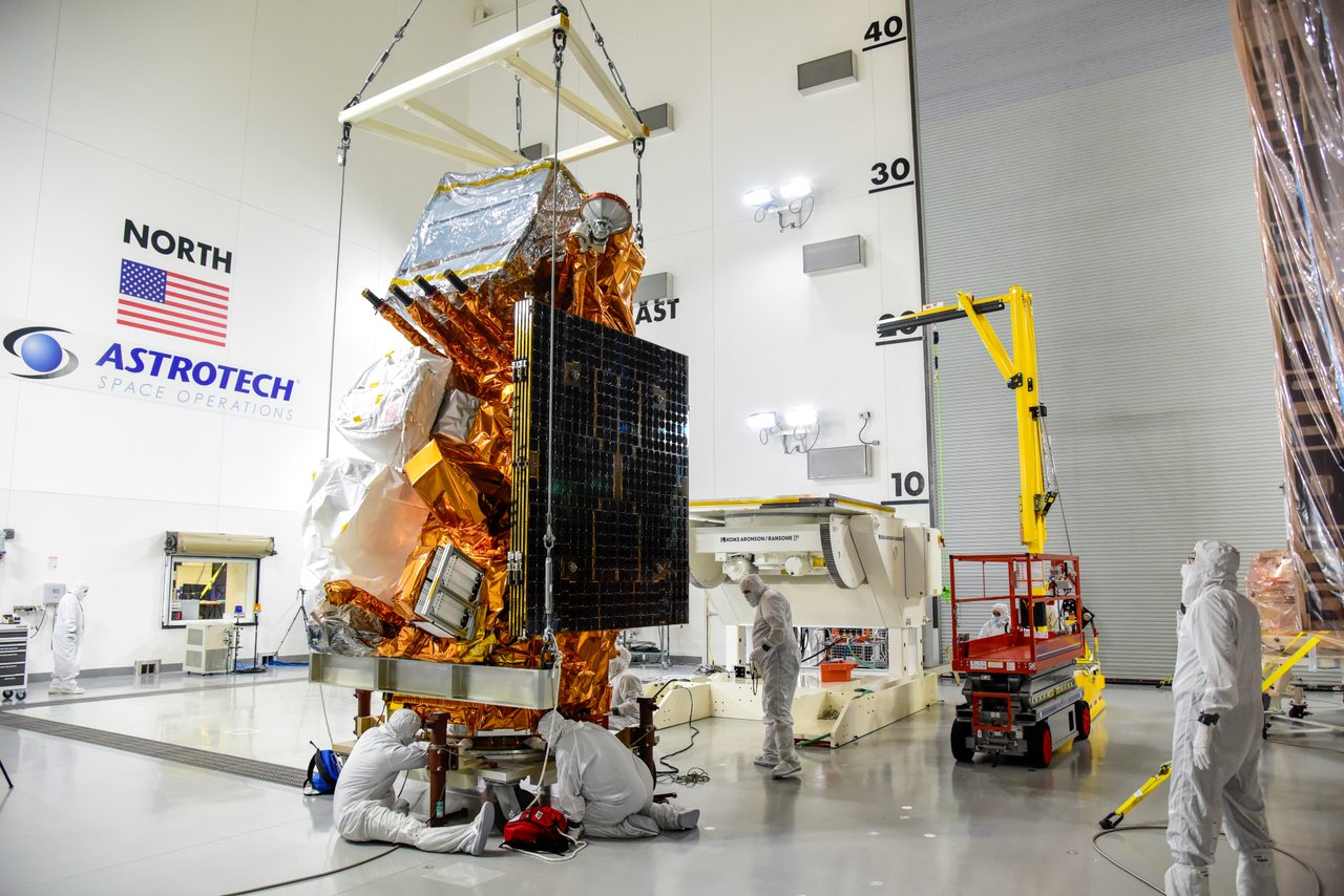
The GOES programme began with the launch of GOES-1 in 1975. Since then, the series has evolved through multiple generations, with significant advancements in technology and capabilities. The current generation, GOES-R Series, includes satellites like GOES-16 (NORAD ID: 41866) and GOES-17 (NORAD ID: 43226), which offer improved resolution and faster data processing. Future launches can be tracked on the launch schedule.
Why Are GOES Satellites Important?
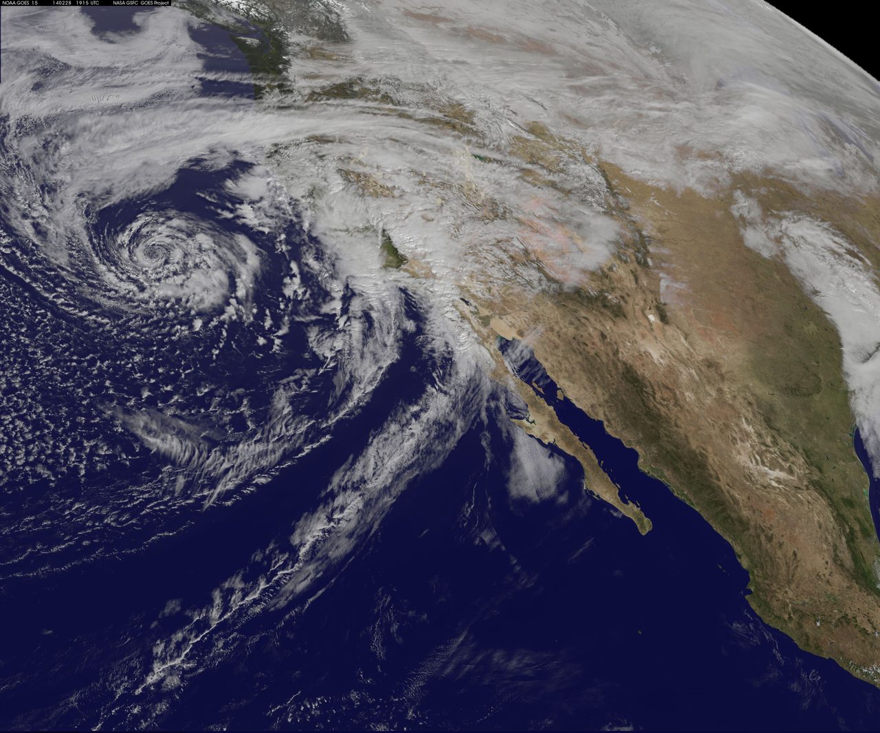
GOES satellites are vital for weather forecasting, providing data that helps meteorologists predict severe weather events such as hurricanes, thunderstorms, and tornadoes. Their real-time data supports early warning systems, potentially saving lives and reducing economic losses. Additionally, GOES satellites contribute to climate monitoring and research, offering valuable insights into long-term atmospheric trends.
GOES vs. Other Weather Satellites
While GOES satellites provide continuous coverage of the Western Hemisphere, polar-orbiting satellites like NOAA's JPSS series offer global coverage by orbiting Earth from pole to pole. Each type of satellite has its strengths: GOES excels in real-time monitoring, while polar orbiters provide detailed global data. Understanding the complementary roles of these satellites is crucial for comprehensive weather analysis.
GOES and Space Weather Monitoring
In addition to terrestrial weather, GOES satellites play a role in monitoring space weather, which includes phenomena like solar flares and geomagnetic storms. These events can impact satellite operations, power grids, and communication systems on Earth. The Space Weather Prediction Center utilises data from GOES satellites to forecast space weather events, as detailed on the space weather page.
Key Takeaways
GOES weather satellites are indispensable tools for meteorology, offering real-time data that enhances weather forecasting and environmental monitoring. Their geostationary position provides continuous observation of the Western Hemisphere, crucial for tracking severe weather. The evolution of the GOES programme reflects significant technological advancements, ensuring improved accuracy and efficiency in weather prediction.
Frequently Asked Questions
What is the primary function of GOES satellites?
How do GOES satellites differ from polar-orbiting satellites?
What instruments are used on GOES satellites?
How do GOES satellites contribute to space weather monitoring?
When was the first GOES satellite launched?
📎 Cite this article
Orbital Radar Newsroom. (2026). GOES Weather Satellites: Comprehensive Guide and Analysis. Orbital Radar. https://orbitalradar.com/blog/goes-weather-explainer"GOES Weather Satellites: Comprehensive Guide and Analysis." Orbital Radar, 27 August 2026, https://orbitalradar.com/blog/goes-weather-explainer.@misc{orbitalradar_goes_weather_explainer,
title = {GOES Weather Satellites: Comprehensive Guide and Analysis},
author = {{Orbital Radar}},
year = {2026},
howpublished = {\url{https://orbitalradar.com/blog/goes-weather-explainer}}
}