Landsat Satellites: Comprehensive Guide to Earth Imaging

Landsat satellites provide critical Earth imagery for monitoring natural resources and environmental changes, revolutionising remote sensing.
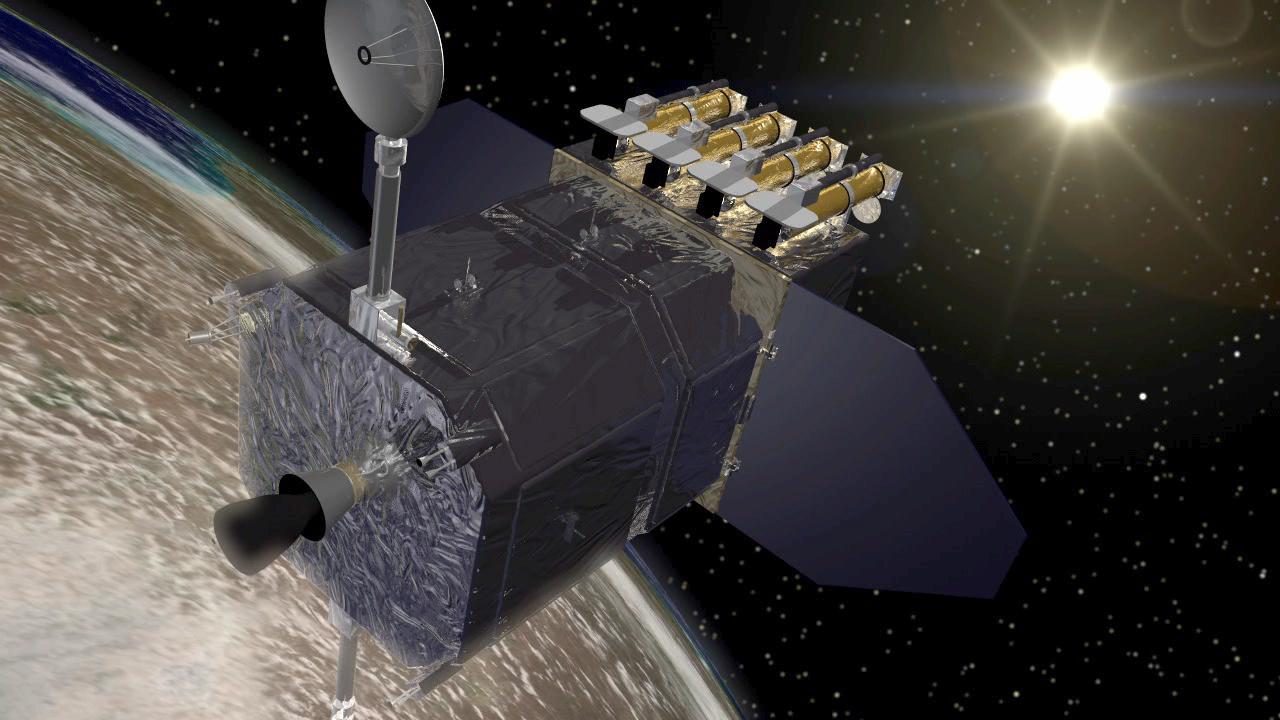
Landsat satellites are a series of Earth observation satellites jointly managed by NASA and the U.S. Geological Survey (USGS). Since 1972, they have provided continuous, high-resolution images of Earth's surface, crucial for monitoring natural resources, land use, and environmental changes. The latest in the series, Landsat 9, was launched on 27 September 2021, continuing the legacy of detailed Earth imaging.
The History of Landsat

The Landsat programme began with the launch of Landsat 1 on 23 July 1972. Originally named the Earth Resources Technology Satellite (ERTS), it was the first satellite to provide detailed, multispectral images of Earth's surface. Over the decades, subsequent satellites have improved in capability and resolution, with Landsat 8 and 9 currently operational. Each satellite has contributed to a rich archive of Earth imagery, available for public use.
How Landsat Satellites Work

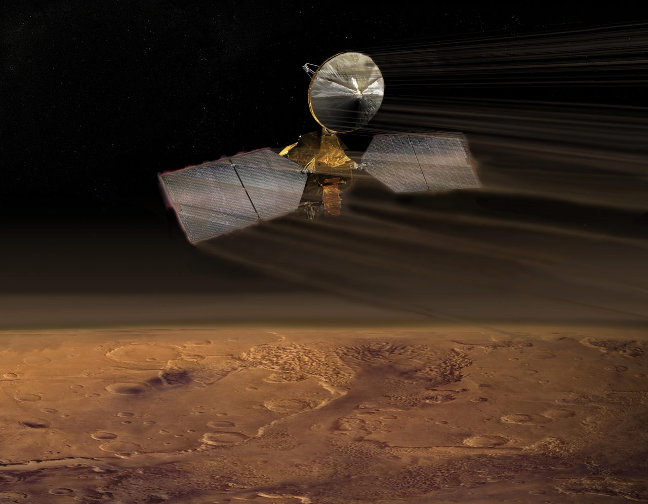
Landsat satellites orbit Earth in a near-polar, sun-synchronous orbit at an altitude of approximately 705 kilometres. This allows them to capture images of the same area every 16 days, ensuring consistent monitoring. Equipped with instruments like the Operational Land Imager (OLI) and the Thermal Infrared Sensor (TIRS), they capture data across multiple spectral bands, providing detailed information on land cover, vegetation health, and surface temperatures.
The Impact of Landsat on Earth Observation

Landsat data has been instrumental in numerous scientific and practical applications, from tracking deforestation and urban expansion to monitoring agricultural productivity and water resources. The programme's open data policy has enabled widespread use by researchers, policymakers, and educators. Landsat's role in understanding climate change and environmental management is highlighted in various studies accessible through the Earth Observation section.
Landsat vs. Other Earth Observation Satellites
While Landsat is a pioneer in Earth observation, it is not the only programme providing satellite imagery. Other satellites, such as those in the European Space Agency's Sentinel programme, offer complementary data. Landsat's unique strength lies in its long-term data continuity and moderate spatial resolution, which are invaluable for time-series analyses. The Landsat page provides further comparisons and insights.
Key Takeaways
Landsat satellites have revolutionised our understanding of Earth's surface through decades of consistent, high-quality data. Their contributions to environmental monitoring, resource management, and climate science are unparalleled. As the programme continues, it remains a cornerstone of global Earth observation efforts, with data accessible via platforms like the Satellite Eye viewer.
Frequently Asked Questions
What is the Landsat programme?
How often do Landsat satellites capture images?
What are the main instruments on Landsat satellites?
How does Landsat data help in climate change studies?
Where can I access Landsat imagery?
📎 Cite this article
Orbital Radar Newsroom. (2026). Landsat Satellites: Comprehensive Guide to Earth Imaging. Orbital Radar. https://orbitalradar.com/blog/landsat-explainer"Landsat Satellites: Comprehensive Guide to Earth Imaging." Orbital Radar, 26 August 2026, https://orbitalradar.com/blog/landsat-explainer.@misc{orbitalradar_landsat_explainer,
title = {Landsat Satellites: Comprehensive Guide to Earth Imaging},
author = {{Orbital Radar}},
year = {2026},
howpublished = {\url{https://orbitalradar.com/blog/landsat-explainer}}
}