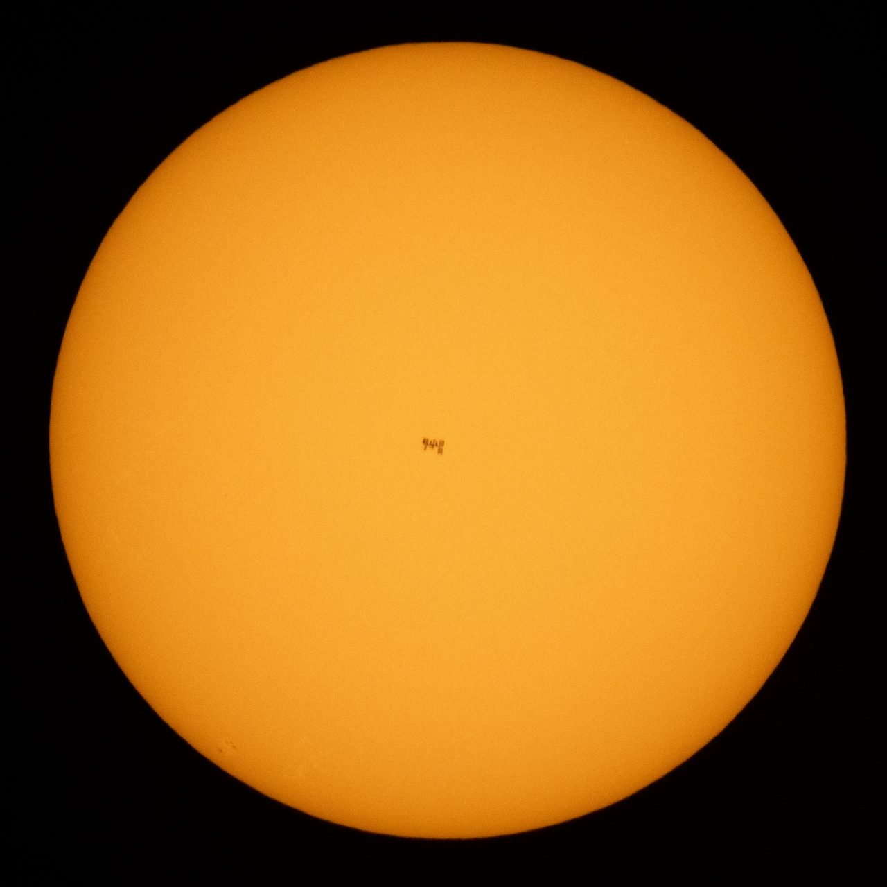
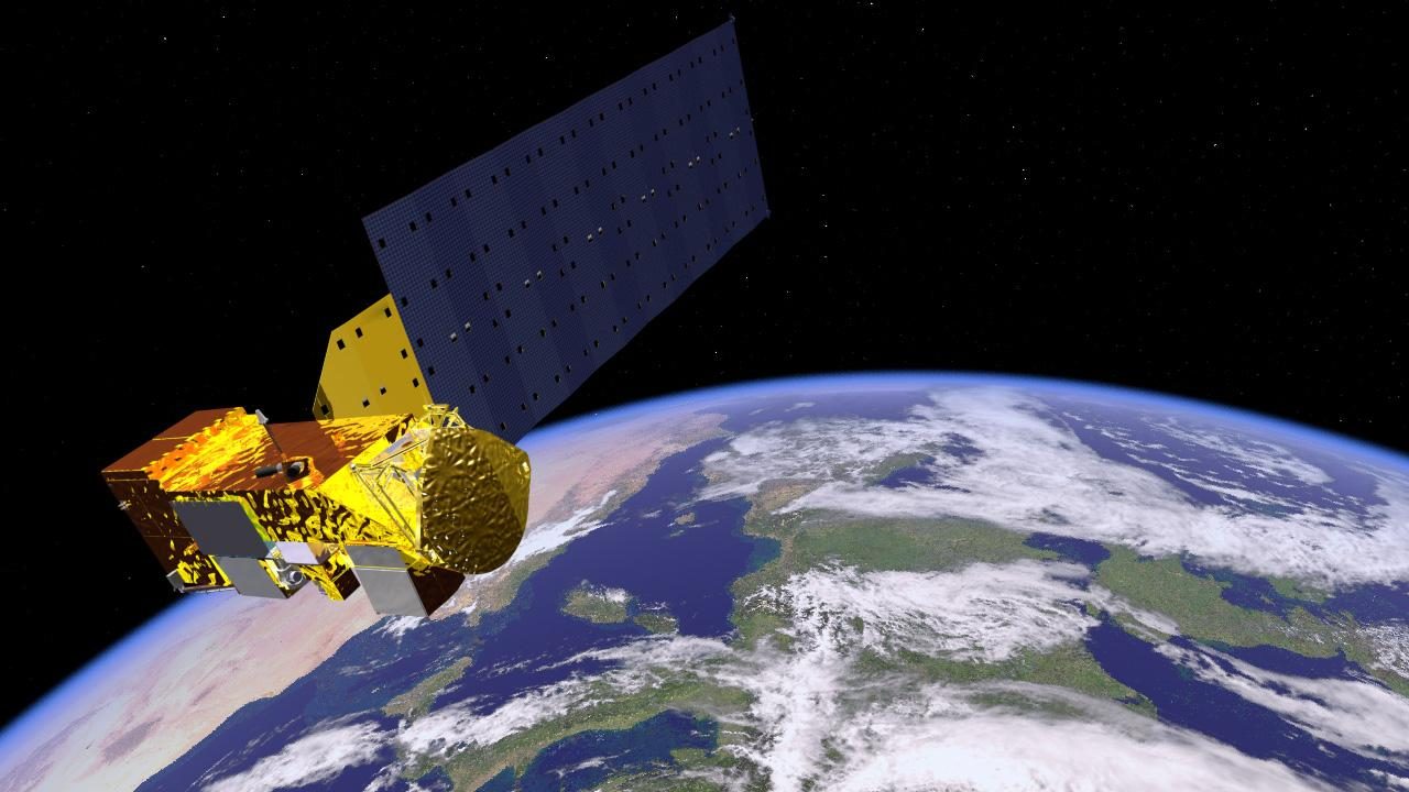
Skylens AR: Your Guide to Satellite Identification Using Augmented Reality
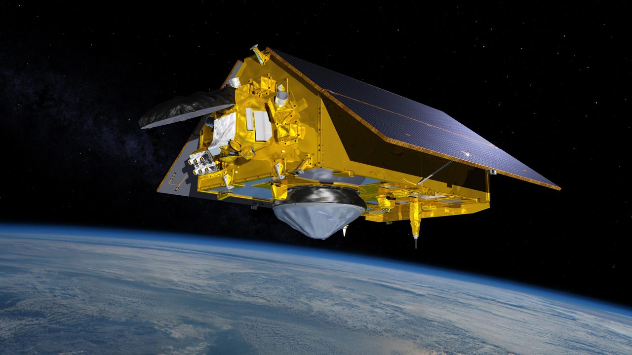
Skylens AR uses augmented reality to help users identify satellites in real-time by pointing their phones at the sky.
Skylens AR is an innovative tool that turns your smartphone into an augmented reality (AR) satellite finder. By simply pointing your device at the sky, users can identify satellites passing overhead in real-time. This tool leverages a vast database of active satellites, including over 17,000 payloads currently in orbit, to provide accurate and up-to-date information.
How Skylens AR Works
The Skylens AR tool uses your smartphone's camera and sensors to overlay satellite information onto the real-world view. By accessing data from NORAD (North American Aerospace Defense Command) and other sources, it can accurately pinpoint the location and trajectory of satellites. This information is cross-referenced with Orbital Radar's extensive satellite pass predictions to ensure precision.
Getting Started with Skylens AR
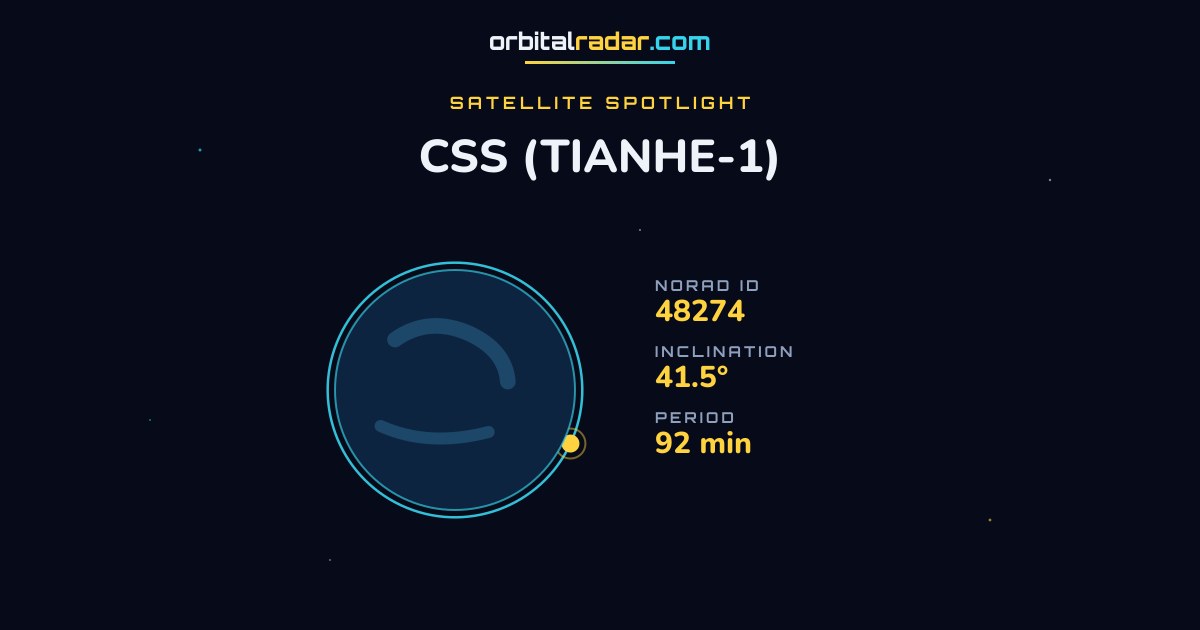
To begin using Skylens AR, download the app and allow it access to your camera and location services. Once set up, point your phone at the sky to see a live overlay of satellite paths and names. The tool provides details such as the satellite's name, NORAD ID, and operational status. Users can explore further by clicking on a satellite to access more comprehensive data.
The Science Behind Satellite Tracking
Satellite tracking involves calculating the position of satellites based on their orbital parameters. These parameters include altitude, inclination, and velocity, which are used to predict their paths. Skylens AR utilises these calculations to display accurate satellite positions. With over 16,000 satellites in low Earth orbit (LEO) alone, understanding these parameters is crucial for precise tracking.
Why Use Skylens AR?
Skylens AR offers a unique blend of technology and accessibility, making satellite tracking available to anyone with a smartphone. It is particularly useful for amateur astronomers, educators, and space enthusiasts who wish to learn more about the satellites orbiting our planet. The tool also serves as an educational resource, helping users understand the complexities of satellite orbits and space technology.
Key Takeaways
Skylens AR transforms satellite tracking into an interactive experience, allowing users to identify and learn about satellites in real-time. With its user-friendly interface and accurate data, it serves as both an educational tool and a practical application for satellite enthusiasts. To explore this tool, visit the Skylens AR page.
Frequently Asked Questions
How does an AR satellite finder work?
What data does Skylens AR use?
Can Skylens AR identify all satellites?
Is Skylens AR suitable for educational purposes?
Do I need an internet connection to use Skylens AR?
📎 Cite this article
Orbital Radar Newsroom. (2026). Skylens AR: Your Guide to Satellite Identification Using Augmented Reality. Orbital Radar. https://orbitalradar.com/blog/skylens-ar-guide"Skylens AR: Your Guide to Satellite Identification Using Augmented Reality." Orbital Radar, 27 August 2026, https://orbitalradar.com/blog/skylens-ar-guide.@misc{orbitalradar_skylens_ar_guide,
title = {Skylens AR: Your Guide to Satellite Identification Using Augmented Reality},
author = {{Orbital Radar}},
year = {2026},
howpublished = {\url{https://orbitalradar.com/blog/skylens-ar-guide}}
}