What Satellite Is Above Me Right Now? A Comprehensive Guide

Find out which satellite is currently above you by using real-time tracking tools. Understand satellite types, orbits, and how to observe them.
To determine which satellite is currently above you, you can use real-time tracking tools like the Orbital Radar pass predictor. This tool provides data on visible satellite passes based on your location, allowing you to identify satellites overhead at any given moment.
How Satellite Tracking Works

Satellite tracking involves monitoring the positions and movements of satellites in orbit. This is achieved using a combination of ground-based radar, optical telescopes, and data from the satellites themselves. The North American Aerospace Defense Command (NORAD) maintains a catalogue of over 29,000 tracked objects, including 18,552 active satellites.
Types of Satellites in Orbit

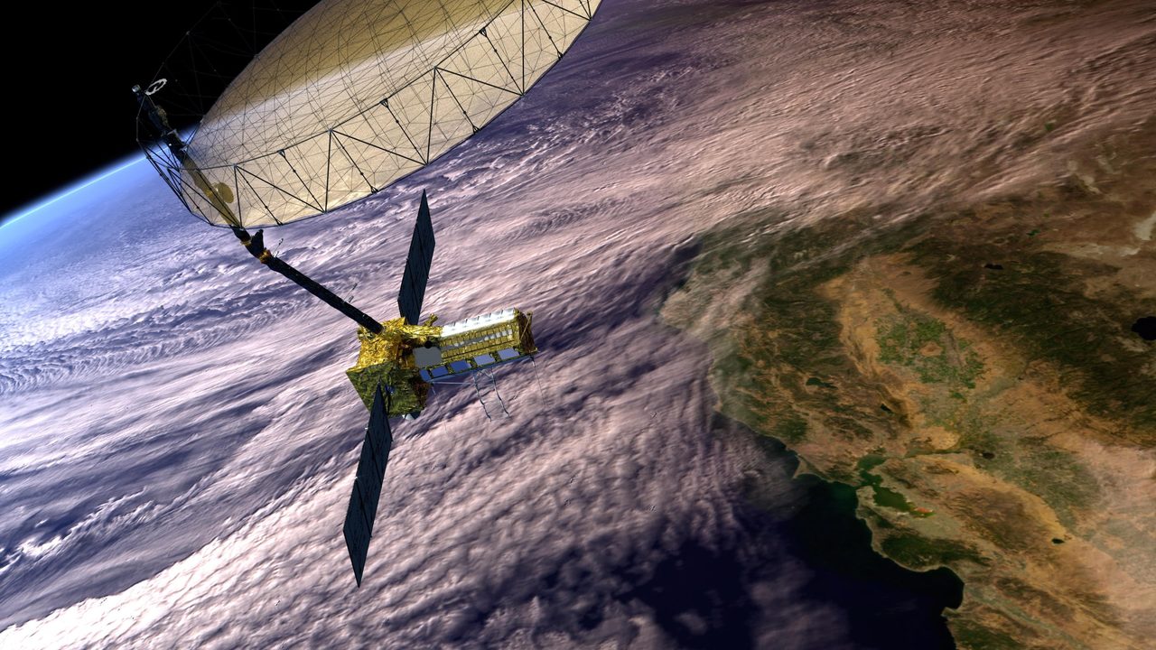
Satellites serve various purposes, from communication and weather monitoring to navigation and scientific research. The most numerous are communication satellites, including the 10,911 active Starlink satellites. Other types include Earth observation satellites, such as those used for climate monitoring, and navigation satellites like GPS.
Understanding Satellite Orbits

Satellites orbit Earth in different paths, primarily categorized into low Earth orbit (LEO), medium Earth orbit (MEO), and geostationary orbit (GEO). LEO satellites, such as the International Space Station (ISS), orbit at altitudes between 160 and 2,000 km. GEO satellites remain fixed relative to a point on Earth, orbiting at approximately 35,786 km.
Why Satellite Tracking Matters
Tracking satellites is crucial for collision avoidance, space debris management, and maintaining the functionality of satellite networks. With over 29,306 tracked objects, including 8,868 pieces of debris, the risk of collisions is a significant concern. Real-time tracking helps mitigate these risks by providing data on active close approaches, currently numbering 16.
Tools for Observing Satellites
Several tools are available for observing satellites, including the Orbital Radar Satellite Eye, which provides live satellite imagery. Amateur astronomers can also use apps and websites to predict satellite passes, allowing them to observe satellites with the naked eye or through telescopes.
Key Takeaways
Understanding which satellite is above you involves using real-time tracking tools and knowledge of satellite orbits. With thousands of satellites in orbit, tools like the Skylens provide valuable data for both enthusiasts and professionals. Satellite tracking is essential for safe and efficient space operations.
Frequently Asked Questions
How can I find out what satellite is above me?
What are the different types of satellite orbits?
Why is satellite tracking important?
What tools can I use to observe satellites?
How many satellites are currently in orbit?
📎 Cite this article
Orbital Radar Newsroom. (2026). What Satellite Is Above Me Right Now? A Comprehensive Guide. Orbital Radar. https://orbitalradar.com/blog/what-satellite-is-above-me"What Satellite Is Above Me Right Now? A Comprehensive Guide." Orbital Radar, 12 August 2026, https://orbitalradar.com/blog/what-satellite-is-above-me.@misc{orbitalradar_what_satellite_is_above_me,
title = {What Satellite Is Above Me Right Now? A Comprehensive Guide},
author = {{Orbital Radar}},
year = {2026},
howpublished = {\url{https://orbitalradar.com/blog/what-satellite-is-above-me}}
}