Terra: NASA's Flagship Earth Observing System Platform

Terra, launched by NASA on 18 December 1999, is a key component of the Earth Observing System (EOS) programme. It serves as a flagship platform for studying Earth's climate and environmental systems.
Overview of Terra
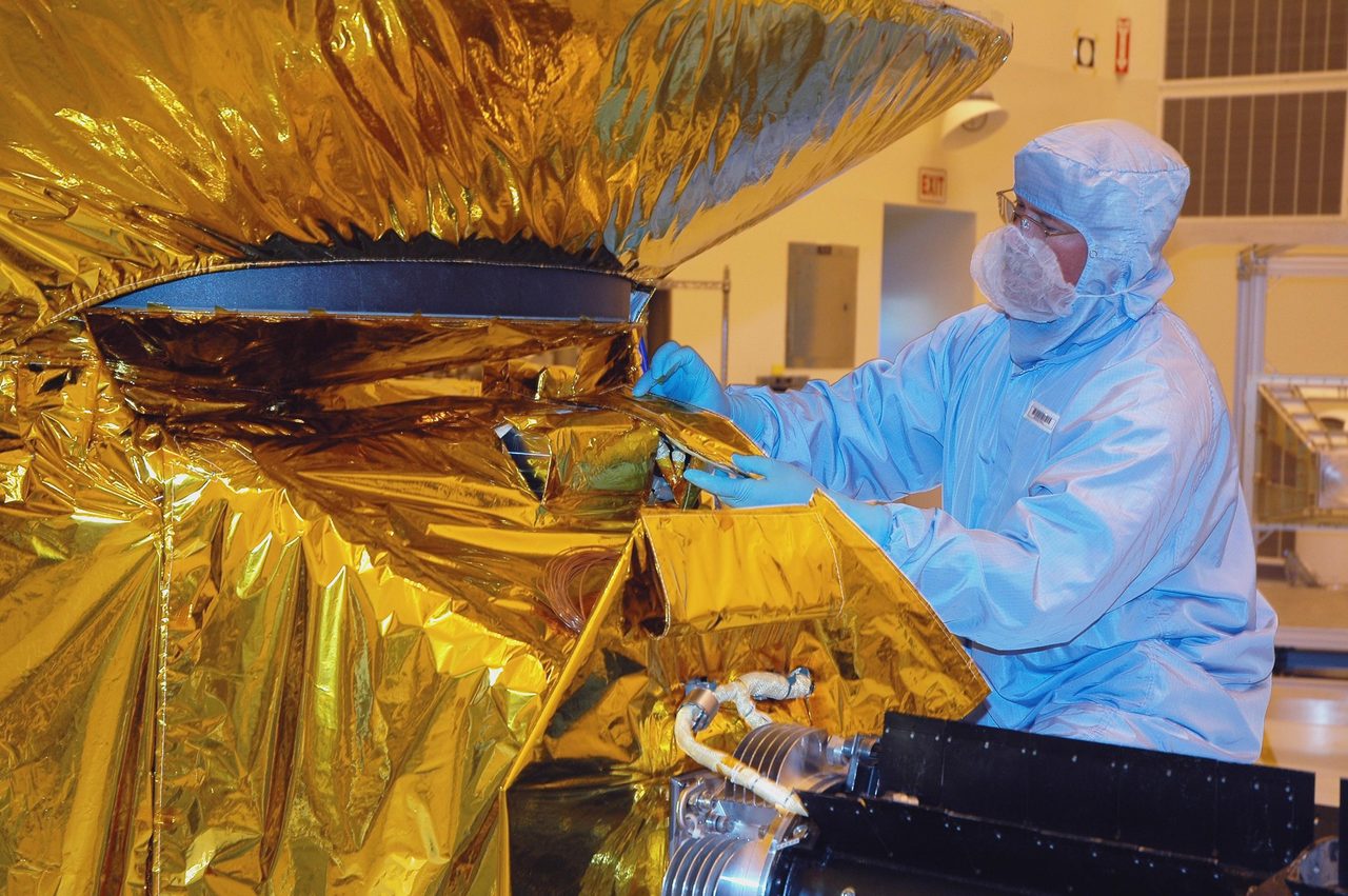
Terra, launched by NASA on 18 December 1999, is a key component of the Earth Observing System (EOS) programme. It serves as a flagship platform for studying Earth's climate and environmental systems. The satellite is equipped with five scientific instruments designed to monitor various aspects of the Earth's surface and atmosphere. These instruments include the Moderate Resolution Imaging Spectroradiometer (MODIS), the Multi-angle Imaging SpectroRadiometer (MISR), and the Clouds and the Earth's Radiant Energy System (CERES), among others. Terra's comprehensive data collection aids in understanding the complex interactions between the planet's land, oceans, and atmosphere.
Mission and Purpose
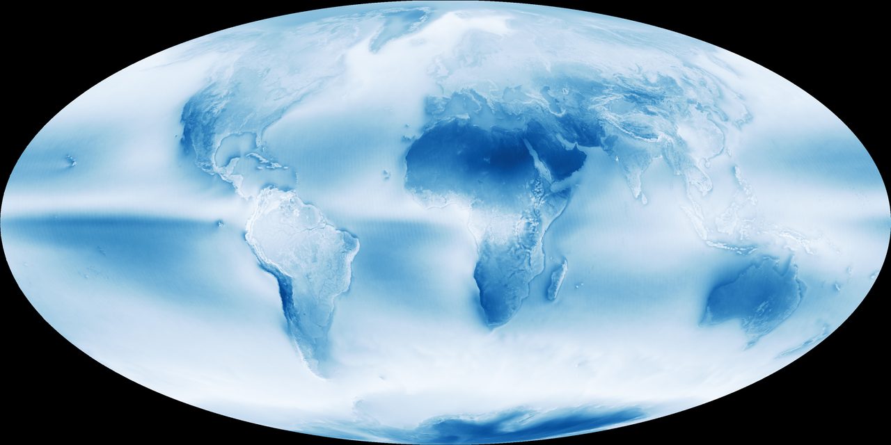
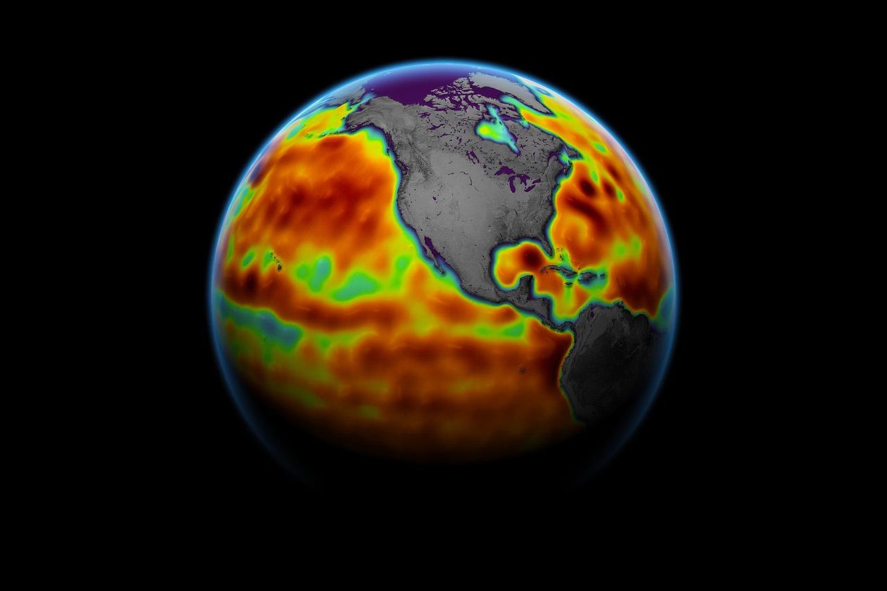
The primary mission of Terra is to collect data that helps scientists understand the dynamics of Earth's climate system. By providing detailed observations of cloud cover, radiation, and surface temperatures, Terra contributes to climate change research and environmental monitoring. The satellite's instruments work in synergy to provide a holistic view of Earth's systems, allowing for improved weather forecasts, disaster response, and resource management. Terra's data has been instrumental in studying phenomena such as deforestation, urban heat islands, and ocean productivity.
Orbital Characteristics
Terra orbits the Earth in a sun-synchronous orbit, which allows it to pass over the same part of the Earth at roughly the same local solar time. This orbit is ideal for consistent lighting conditions in imaging applications. Terra operates at an altitude of approximately 705 kilometres with an inclination of 98.2 degrees. The satellite completes an orbit around the Earth approximately every 99 minutes. Its NORAD ID is 25994, and it is part of the active payloads tracked in the Orbital Radar Satellite Library.
Significance and Legacy
Since its launch, Terra has significantly contributed to our understanding of Earth's climate and environmental changes. Its data has been used in over 18,000 scientific papers, underscoring its importance to the scientific community. Terra's long-term data sets are invaluable for tracking changes in the Earth's systems over time, providing a baseline for future research. The satellite's legacy is further cemented by its role in international collaborations, sharing data with agencies worldwide to enhance global climate models and environmental policies.
Current Status
As of 2023, Terra continues to operate and provide valuable data, although its instruments have experienced some degradation over time. NASA has extended the mission several times due to its ongoing contributions to Earth science. Terra's data remains accessible to researchers and the public, ensuring its continued impact on climate research and environmental monitoring. For those interested in tracking Terra's current position and visible passes, the Orbital Radar pass predictor offers up-to-date information.
📎 Cite this article
Orbital Radar Newsroom. (2026). Terra: NASA's Flagship Earth Observing System Platform. Orbital Radar. https://orbitalradar.com/blog/terra-earth-observing-system-platform"Terra: NASA's Flagship Earth Observing System Platform." Orbital Radar, 21 August 2026, https://orbitalradar.com/blog/terra-earth-observing-system-platform.@misc{orbitalradar_terra_earth_observing_system_platform,
title = {Terra: NASA's Flagship Earth Observing System Platform},
author = {{Orbital Radar}},
year = {2026},
howpublished = {\url{https://orbitalradar.com/blog/terra-earth-observing-system-platform}}
}