Sentinel-6: Measuring Sea Level from Orbit
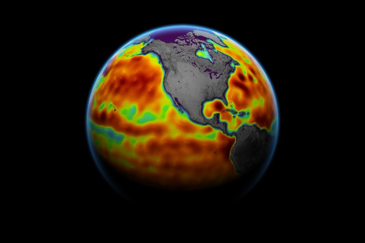
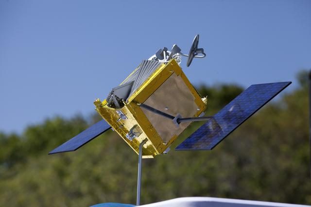
Sentinel-6 Michael Freilich is an Earth observation satellite dedicated to measuring sea level changes with unprecedented accuracy. Launched on 21 November 2020, it is part of the European Union's Copernicus programme, designed to provide critical data for climate monitoring and weather forecasting.
| Active satellites | 15,755 |
| Catalogued objects | 31,461 |
| Starlink active | 10,037 |
What is Sentinel-6?
Sentinel-6 Michael Freilich is an Earth observation satellite dedicated to measuring sea level changes with unprecedented accuracy. Launched on 21 November 2020, it is part of the European Union's Copernicus programme, designed to provide critical data for climate monitoring and weather forecasting. The satellite is named in honour of Michael Freilich, the former director of NASA's Earth Science Division, recognising his contributions to advancing satellite oceanography.
Mission and Purpose
The primary mission of Sentinel-6 is to continue the long-term record of sea level measurements initiated by the TOPEX/Poseidon mission in 1992. It aims to provide high-precision and high-resolution altimetry data, crucial for understanding climate change, ocean circulation, and sea level rise. Sentinel-6 also supports operational oceanography by delivering data for weather and marine forecasting. The satellite carries a radar altimeter, a microwave radiometer, and a GNSS-RO (Global Navigation Satellite System Radio Occultation) instrument to achieve its objectives.
Orbital Characteristics
Sentinel-6 operates in a low Earth orbit at an altitude of approximately 1,336 kilometres with an inclination of 66 degrees. This orbit allows the satellite to cover up to 95% of the Earth's ice-free oceans every 10 days. The satellite's NORAD ID is 46984, and it completes an orbit approximately every 112 minutes. These orbital parameters enable Sentinel-6 to provide consistent and reliable data on global sea levels, contributing to a continuous dataset that spans nearly three decades.
Significance and Legacy
Sentinel-6 Michael Freilich is the latest in a series of satellites that have significantly advanced our understanding of sea level rise and its implications for climate change. Its data is crucial for scientists and policymakers as they develop strategies to mitigate the impacts of rising seas on coastal communities. The mission builds on the legacy of previous altimetry missions, ensuring the continuity of a critical dataset that informs both scientific research and practical applications in oceanography and meteorology.
Current Status
As of 2023, Sentinel-6 is fully operational and continues to deliver high-quality data to the global scientific community. The satellite's instruments are functioning as expected, and its data products are available to researchers and institutions worldwide. According to Orbital Radar tracking data, 15,755 active satellites are currently in orbit, with Sentinel-6 contributing to this vital network of Earth observation assets.
📎 Cite this article · data available
Orbital Radar Newsroom. (2026). Sentinel-6: Measuring Sea Level from Orbit. Orbital Radar. https://orbitalradar.com/blog/sentinel-6-measuring-sea-level"Sentinel-6: Measuring Sea Level from Orbit." Orbital Radar, 3 October 2026, https://orbitalradar.com/blog/sentinel-6-measuring-sea-level.@misc{orbitalradar_sentinel_6_measuring_sea_level,
title = {Sentinel-6: Measuring Sea Level from Orbit},
author = {{Orbital Radar}},
year = {2026},
howpublished = {\url{https://orbitalradar.com/blog/sentinel-6-measuring-sea-level}}
}