Medium Earth Orbit: Understanding Its Role in Satellite Operations
Medium Earth Orbit (MEO) is a region of space where satellites orbit at altitudes between 2,000 and 35,786 km, crucial for navigation and communications.
Medium Earth Orbit (MEO) refers to the region of space where satellites orbit at altitudes between 2,000 and 35,786 kilometres above Earth. This orbit is particularly significant for navigation and communication satellites, such as those in the Global Positioning System (GPS). MEO provides a balance between coverage area and signal strength, making it ideal for these applications.
What is Medium Earth Orbit?
Medium Earth Orbit encompasses altitudes between Low Earth Orbit (LEO) and Geostationary Orbit (GEO). Satellites in MEO typically orbit at altitudes ranging from 20,200 kilometres to 35,786 kilometres. This orbit is used by systems like GPS, which require a stable position relative to Earth to provide accurate location data. The Orbital Radar glossary offers more detailed definitions and context.
Why is MEO Important for Navigation?
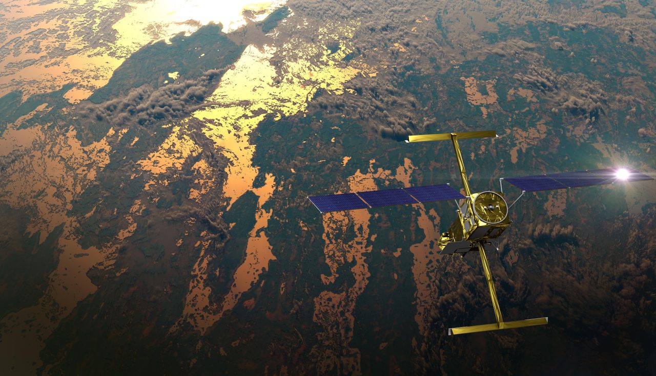
MEO is crucial for navigation systems due to its optimal balance between altitude and coverage. GPS satellites, for example, orbit at approximately 20,200 kilometres, allowing them to cover large areas of the Earth's surface while maintaining strong signal strength. This altitude ensures that at least four satellites are visible from any point on Earth, which is necessary for accurate triangulation.
MEO vs Other Orbits
Compared to Low Earth Orbit (LEO), MEO offers greater coverage and less atmospheric drag, which reduces fuel consumption for station-keeping. In contrast to Geostationary Orbit (GEO), MEO satellites do not remain fixed over one spot on Earth, but they provide better global coverage. The Orbital Radar types of orbits page provides a comprehensive comparison of these orbital regions.
How Do Satellites Maintain Their Orbits in MEO?
Satellites in MEO maintain their orbits through precise velocity and altitude control. They are equipped with thrusters for orbital adjustments to counteract gravitational perturbations and maintain their intended paths. The NORAD ID system is used to track these satellites, ensuring their positions are monitored accurately.
Key Applications of MEO Satellites
Beyond navigation, MEO satellites are also used for communications and environmental monitoring. Their altitude allows for wide-area coverage, which is beneficial for global communication networks and weather forecasting. The GPS satellite tracker on Orbital Radar provides real-time data on the positions of these essential satellites.
Challenges and Future of MEO
One of the main challenges in MEO is the potential for space debris, which can pose a risk to satellites. As the number of satellites increases, effective debris management becomes crucial. The future of MEO involves more advanced satellite technology and improved debris tracking systems, as detailed on the Orbital Radar debris map.
Key Takeaways
Medium Earth Orbit is a vital region for navigation and communication satellites, offering a balance between coverage and signal strength. Understanding the dynamics of MEO is essential for the continued development of global satellite systems. As technology advances, MEO will remain a cornerstone of satellite operations, requiring ongoing innovation in orbit management and debris mitigation.
Frequently Asked Questions
What altitude is Medium Earth Orbit?
Why are GPS satellites in MEO?
How does MEO differ from LEO and GEO?
What are the challenges of operating in MEO?
What is the future of MEO satellites?
📎 Cite this article
Orbital Radar Newsroom. (2026). Medium Earth Orbit: Understanding Its Role in Satellite Operations. Orbital Radar. https://orbitalradar.com/blog/meo-explainer"Medium Earth Orbit: Understanding Its Role in Satellite Operations." Orbital Radar, 21 August 2026, https://orbitalradar.com/blog/meo-explainer.@misc{orbitalradar_meo_explainer,
title = {Medium Earth Orbit: Understanding Its Role in Satellite Operations},
author = {{Orbital Radar}},
year = {2026},
howpublished = {\url{https://orbitalradar.com/blog/meo-explainer}}
}