Understanding GDOP and PDOP in GNSS: A Detailed Guide
GDOP and PDOP are key metrics in GNSS, affecting positioning accuracy. Learn their roles and significance in satellite navigation.
| Active satellites | 18,105 |
| Starlink active | 9,839 |
| Catalogued objects | 29,429 |
| Predicted re-entries | 27 |
| Active close approaches | 16 |
Geometric Dilution of Precision (GDOP) and Position Dilution of Precision (PDOP) are critical factors in Global Navigation Satellite Systems (GNSS) that influence the accuracy of position data. GDOP refers to the effect of satellite geometry on the precision of a GNSS position solution, while PDOP specifically measures the impact on positional accuracy. Understanding these metrics is essential for interpreting GNSS data and improving navigation accuracy.
What is Dilution of Precision (DOP)?
Dilution of Precision (DOP) is a quantitative measure used in GNSS to describe the effect of satellite geometry on the precision of position estimates. It is a unitless number, where lower values indicate better geometry and higher precision. DOP is divided into several components, including GDOP, PDOP, Horizontal DOP (HDOP), and Vertical DOP (VDOP), each representing different aspects of positional accuracy.
How Does GDOP Affect GNSS Accuracy?
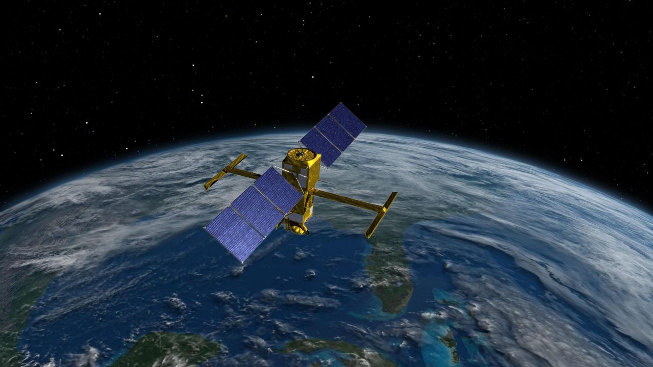
GDOP is a comprehensive measure that combines the effects of position (PDOP), time (TDOP), and other factors on GNSS accuracy. A high GDOP value indicates poor satellite geometry, often resulting in less accurate position fixes. This can occur when satellites are clustered together in the sky, reducing the triangulation effectiveness needed for precise location determination. Users can monitor GDOP values using tools like the Groundlink for optimal satellite visibility.
Understanding PDOP: Position Dilution of Precision
PDOP specifically measures the impact of satellite geometry on the horizontal and vertical position accuracy. It is a subset of GDOP and is particularly important for applications requiring high positional precision, such as surveying and geodesy. PDOP values can be minimized by selecting satellites that are widely spaced across the sky, which can be tracked using the GPS Satellite Tracker.
GDOP vs PDOP: Key Differences
While GDOP and PDOP are related, they serve different purposes in GNSS analysis. GDOP encompasses a broader range of factors, including time and position, while PDOP focuses solely on positional accuracy. Understanding the distinction is crucial for interpreting GNSS data correctly and optimizing satellite-based navigation systems.
Why Does DOP Matter in Satellite Navigation?
DOP values are critical for determining the reliability and accuracy of GNSS-based positioning. High DOP values can lead to significant errors, affecting navigation systems used in aviation, maritime, and land-based applications. By understanding and managing DOP, users can enhance the precision of their navigation solutions, as highlighted in our Navigation Constellations section.
Key Takeaways
GDOP and PDOP are essential metrics for assessing the quality of GNSS data. Lower DOP values generally indicate better positional accuracy, which is vital for various applications. Tools like the Groundlink and GPS Satellite Tracker can help users monitor and optimise satellite geometry for improved navigation performance.
Frequently Asked Questions
What is a good PDOP value?
How can I reduce GDOP in GNSS?
Why is GDOP important for GNSS users?
How is DOP calculated in GNSS?
What impacts DOP values in GNSS?
📎 Cite this article · data available
Orbital Radar Newsroom. (2026). Understanding GDOP and PDOP in GNSS: A Detailed Guide. Orbital Radar. https://orbitalradar.com/blog/gnss-dop-explainer"Understanding GDOP and PDOP in GNSS: A Detailed Guide." Orbital Radar, 14 September 2026, https://orbitalradar.com/blog/gnss-dop-explainer.@misc{orbitalradar_gnss_dop_explainer,
title = {Understanding GDOP and PDOP in GNSS: A Detailed Guide},
author = {{Orbital Radar}},
year = {2026},
howpublished = {\url{https://orbitalradar.com/blog/gnss-dop-explainer}}
}