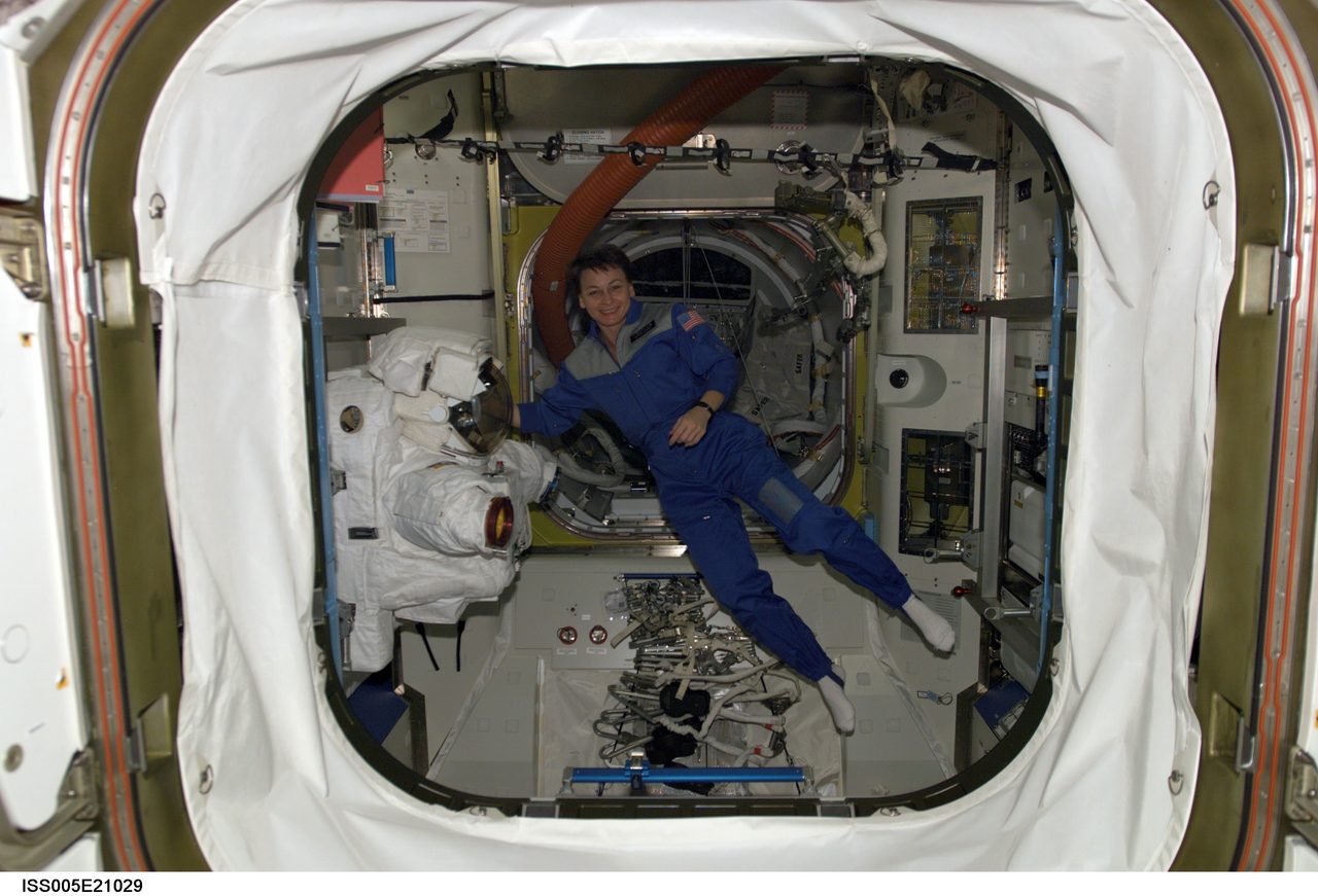
Why Do Rockets Launch From Florida?
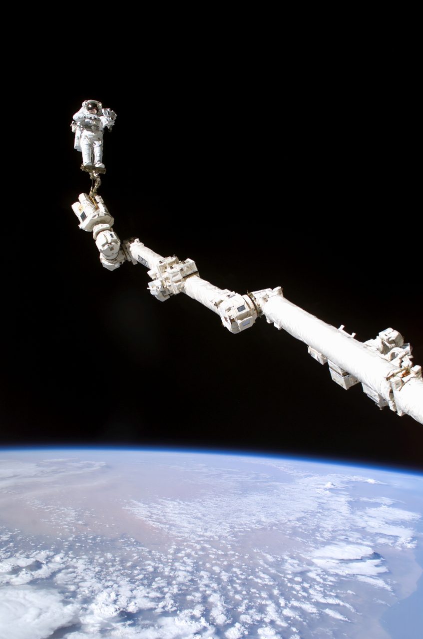
Florida combines an eastward boost from Earth's rotation with open Atlantic launch corridors and decades of infrastructure. But the best launch site depends on the mission.
| Active satellites | 15,883 |
| Starlink active | 10,038 |
| Catalogued objects | 31,818 |
| Active close approaches | 19 |
| People in space | 10 |
Rockets launch from Florida because its Atlantic coast offers safer eastward flight paths over water, while Earth’s rotation gives eastbound rockets a useful starting speed. Its relatively low latitude, established launch infrastructure and history as a missile-testing centre helped make Cape Canaveral and neighbouring Kennedy Space Center major launch sites.
Flying over the Atlantic reduces the risk to populated areas from falling hardware or a failed launch. Decades of investment have also brought launch pads, tracking equipment and specialist teams together along this coast.
Orbital Radar tracking data records 15,883 active satellites in orbit as of 25 October 2026. Orbital Radar’s live catalogue contains 31,818 objects, including debris, as of 25 October 2026.
Florida is nevertheless a practical compromise, not the best location for every mission: the destination orbit, public safety and available infrastructure determine where a rocket should launch. Orbital Radar’s launch schedule shows upcoming missions from Florida alongside departures from other launch sites.
How does Earth's spin help rockets launched from Florida?
Rockets launched eastwards from Florida get a head start from Earth's rotation: before leaving the pad, they are already moving eastwards with the ground beneath them. Near Cape Canaveral, that motion amounts to roughly 410 metres per second, compared with approximately 465 metres per second at the equator.
Think of starting a race from a moving platform. You already share the platform's forward speed; running in the same direction adds to it. A rocket likewise carries Earth's rotational motion into flight rather than starting from rest relative to the planet's centre.
When the intended orbit suits an eastward launch, this inherited speed reduces the velocity the rocket must supply through engine thrust. Depending on the mission and vehicle, the saving can allow more payload or leave additional performance margin. Orbital Radar's guide to launch sites and orbital inclination explains how launch direction affects the orbit a rocket can reach.
Rotation supplies only part of the speed needed for orbit. The central challenge is not simply climbing above the atmosphere, but gaining enough sideways velocity to keep falling around Earth rather than returning to the ground.
Orbital Radar tracking data lists 15,883 active satellites in orbit as of 25 October 2026. Orbital Radar's live catalogue contains 31,818 objects, including debris, as of 25 October 2026. Remaining in orbit depends on sideways motion, not altitude alone.
Why does Florida's latitude matter for reaching orbit?
Cape Canaveral lies at approximately 28.5 degrees north latitude, which affects both its rotational boost and the orbital planes rockets can reach directly. Latitude is angular distance north or south of the equator: Florida is relatively close to the equator, but not on it.
Every location on Earth completes a rotation together, but locations at different latitudes travel different distances. A point on the equator traces Earth's widest circle; a point nearer a pole traces a smaller circle in the same time. Its rotational surface speed is therefore lower, giving an eastward launch less initial speed.
Orbital inclination is the angle between an orbital plane and Earth's equator. A straightforward launch without a plane-changing manoeuvre cannot reach an inclination lower than the launch site's absolute latitude—its latitude regardless of whether it is north or south. The initial orbital plane must pass through Earth's centre and the launch site, so Cape Canaveral sets a direct-launch minimum of approximately 28.5 degrees.
Orbital Radar tracking data lists 15,883 active satellites as of 25 October 2026. Orbital Radar's live catalogue contains 31,818 objects, including debris, as of 25 October 2026. Each object's orbital plane is distinct from its speed within that plane.
That distinction matters: Earth's rotation supplies initial speed, while launch-site latitude constrains direct access to orbital planes. They are related benefits of geography, not the same advantage. Orbital Radar's guide to inclination and launch sites explains the geometry in more detail.
Why is launching over the Atlantic Ocean safer?
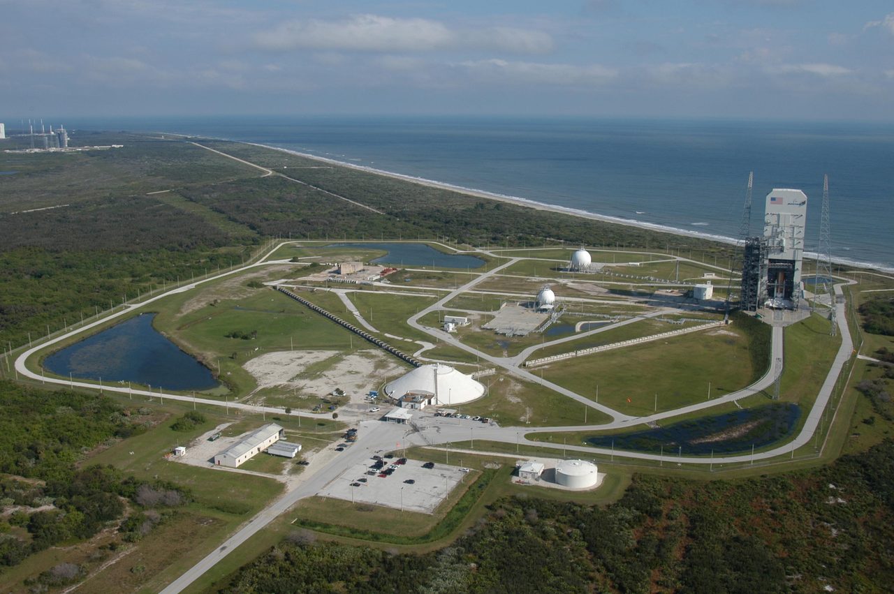
Launching over the Atlantic Ocean is safer because many eastward routes from Florida carry rockets away from densely populated land. Downrange means the direction along a rocket’s flight path: an ocean corridor puts fewer people beneath that path.
Planned drop zones mark where discarded boosters or other hardware are expected to fall. Launch-failure hazard areas cover places debris could reach if something goes wrong; both help determine permitted routes.
Trajectory planning assesses these hazards before flight, while maritime and airspace restrictions keep ships and aircraft clear of designated danger areas. Safety teams monitor the corridor and can delay launch if it is not clear.
A flight termination system ends a malfunctioning rocket’s powered flight, either through an automatic onboard decision or a command from the ground. It can prevent the rocket continuing towards populated areas, but falling debris remains a hazard.
Launch corridors address immediate public safety, not the separate problem of debris remaining in orbit. Orbital Radar’s live catalogue lists 31,818 tracked orbital objects as of 25 October 2026. That catalogue includes 2,204 rocket bodies as of 25 October 2026.
The Atlantic reduces risk; it does not eliminate it, and not every compass direction from Florida offers an acceptable route. Orbital Radar’s launch schedule identifies upcoming Florida departures, each subject to mission-specific safety planning and clearance.
Can Florida launch rockets into every kind of orbit?
Florida can launch into many orbital planes, including polar ones, but not every departure direction is equally practical or permitted. The orbital plane (the flat surface containing an orbit) must suit the mission, while the departure path must satisfy range-safety restrictions.
Low-inclination missions, whose paths stay relatively close to the equator, generally favour eastward departures. International Space Station missions instead target its approximately 51.6-degree inclination (the angle between its orbital plane and the equator). A Florida launch therefore need not fly due east, and its spacecraft need not remain near the launch site's latitude: the station's orbit carries it far north and south.
Polar missions pass over or near both poles. Vandenberg Space Force Base in California is well suited to many such launches because its southerly ocean corridor limits overflight of populated areas. Florida has resumed polar launches using approved trajectories, sometimes involving a dogleg manoeuvre (a change in flight direction). That turn can consume additional propellant and reduce the payload a rocket can deliver.
Orbital Radar tracking data counted 15,883 active satellites on 25 October 2026. Orbital Radar's live catalogue contained 31,818 objects, including debris, on 25 October 2026. Those totals span many orbital planes; no single departure corridor serves every mission.
The distinction is between reaching an orbit in principle and reaching it safely and efficiently. Orbital Radar's guide to inclination and launch sites explains how the required orbital plane shapes the choice of launch location.
How did Cape Canaveral become America's launch centre?
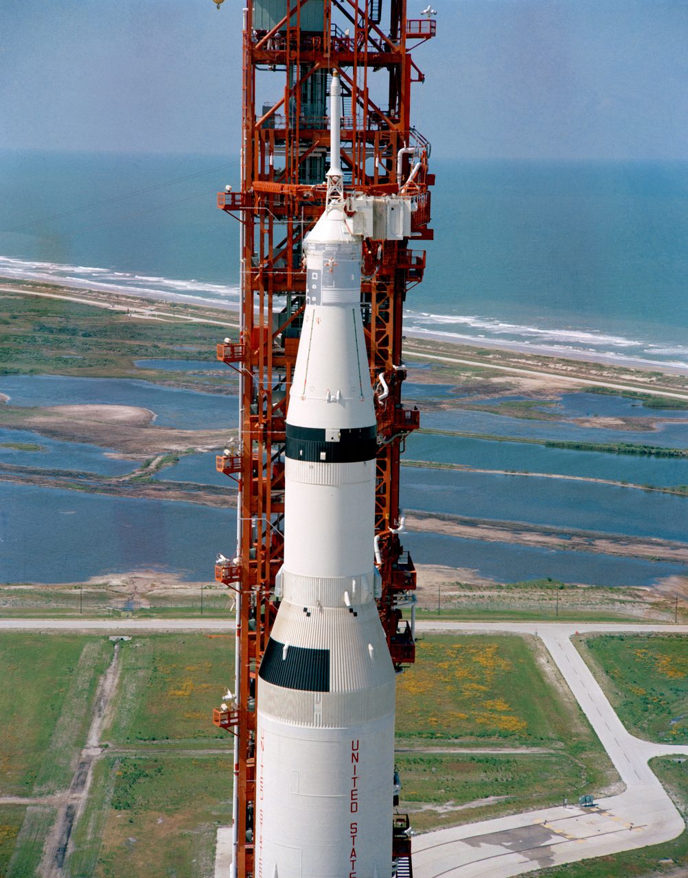
Cape Canaveral became America’s launch centre because its Atlantic missile-testing range, operating from 1950, provided infrastructure that the space programme could build upon. Eastward flight corridors carried test vehicles over the ocean, while tracking stations along the route measured their position and performance.
The Cape’s first rocket launch, a Bumper research vehicle, took place on 24 July 1950. The developing range combined launch pads, radar, radio communications and downrange stations (monitoring sites farther along the flight path), allowing teams to follow increasingly powerful missiles over long distances.
That military investment helped make the Cape a practical base for Mercury and Gemini. Mercury used adapted Redstone and Atlas missiles; Gemini flew on modified Titan II missiles. Existing facilities, experienced crews and tracking systems supported the transition from weapons testing to human spaceflight.
For Apollo, NASA developed much larger facilities on neighbouring Merritt Island, including the Vehicle Assembly Building and Launch Complex 39. Today, NASA’s Kennedy Space Center and the military’s Cape Canaveral Space Force Station remain distinct neighbours, with separate management and responsibilities. Orbital Radar’s Kennedy Space Center profile explains the NASA site’s role.
Launch pads, tracking systems, roads, waterways, contractors and specialist workers reinforced the region’s position: later programmes inherited an established launch ecosystem. Its global context is now substantial: Orbital Radar tracking data recorded 15,883 active satellites on 25 October 2026. Orbital Radar tracking data recorded 10 people in space on 25 October 2026; neither figure is a Florida-only total.
Why do some countries launch nearer the equator?
Countries launch nearer the equator to gain the greatest boost from Earth's eastward rotation and reach low-inclination orbits more directly. The surface moves fastest at the equator, so an eastbound rocket starts with more sideways speed than it would at a higher latitude.
Europe's Spaceport at Kourou in French Guiana, approximately 5 degrees north, combines that advantage with access to the Atlantic Ocean. Rockets can head east over water, keeping falling stages away from populated land while benefiting from the site's low latitude.
This is especially useful for geostationary orbit, where a satellite remains above the same point on Earth's equator. Launching nearby reduces the orbital inclination (the tilt of an orbit relative to the equator) that must later be removed through fuel-consuming manoeuvres. Orbital Radar's guide to inclination and launch sites explains that relationship.
India's Sriharikota and China's Wenchang are also relatively low-latitude coastal sites, but neither lies on the equator. Their locations balance rotational assistance with practical access to downrange waters—the areas beneath a rocket's flight path.
Geography is only part of the decision. National territory, sovereignty, transport links, launch infrastructure and security constrain site selection; a country cannot simply choose an equatorial location without securing access and building the facilities to operate there.
Orbital Radar tracking data records 15,883 active satellites as of 25 October 2026. Orbital Radar's live catalogue contains 31,818 objects, including debris, as of 25 October 2026. Equatorial access is valuable for equatorial destinations, but it is not the best starting point for every mission.
Does Florida's weather make it a poor launch location?
No: Florida’s weather creates recurring launch constraints, but does not outweigh its geographical advantages and established infrastructure. Thunderstorms, lightning, strong winds and tropical cyclones can all force postponements; approaching storms can also require teams to secure facilities and shelter rockets.
A rocket can trigger lightning even when no natural strike is visible nearby. Its electrically conductive exhaust plume can help create a discharge path through an atmospheric electric field, so launch teams assess clouds and electrical conditions rather than simply watch for lightning.
Clear skies at the pad are not enough. Winds higher in the atmosphere can impose damaging aerodynamic loads, while rough seas or storms elsewhere can rule out booster recovery or compromise emergency splashdown areas for crews. Orbital Radar tracking data lists 10 people in space as of 25 October 2026, although launch and abort weather limits concern each departing crew’s particular mission.
Orbital Radar tracking data also records 15,883 active satellites in orbit as of 25 October 2026. Supporting continued access to orbit means balancing weather constraints against suitable Atlantic flight corridors and established facilities at Kennedy Space Center and neighbouring Cape Canaveral. Weather delays are an operational trade-off, not evidence that Florida is fundamentally unsuitable.
Does launching from Florida make spaceflight cheaper?
Launching from Florida can reduce some costs, but it does not deliver a fixed discount on spaceflight. For suitable eastward missions, Earth's rotation supplies a velocity boost that can increase payload capacity or leave more propellant available for manoeuvres and contingencies. That advantage cannot be converted into a universal percentage saving on the launch price: vehicle design, destination orbit and commercial terms all matter.
Florida's established pads, spacecraft processing facilities and experienced workforce have economic value because operators need not build an entire launch ecosystem from scratch. Nearby ports, recovery vessels and refurbishment facilities also support reusable rockets. These assets still require maintenance, while congestion at pads and shared range facilities—the systems that coordinate launch safety—can cause costly delays.
Orbital Radar tracking data lists 10,038 operational Starlink satellites as of 25 October 2026. Starlink's 10,038 operational satellites in Orbital Radar's live catalogue on 25 October 2026 represent an active fleet, not a count of launches or all spacecraft ever deployed. The constellation illustrates the scale of deployment, not how many satellites were launched from Florida.
Ultimately, launch-site economics depend on how geography and infrastructure fit the rocket and mission. Reusability can spread hardware costs across flights, but recovery, inspection and refurbishment also carry costs. Orbital Radar's launch vehicle profiles and launch cost trends provide broader context: Florida's advantages are only part of the price equation.
How can you check which rockets are launching from Florida?
Check Orbital Radar’s launch schedule for upcoming missions, then read each mission’s listed launch site to identify departures from Florida. Use the rocket name, mission name, launch time and status together: the vehicle alone does not tell you which spaceport it will use.
Look for Kennedy Space Center and Cape Canaveral Space Force Station as distinct launch sites, not interchangeable names for the same facility. Both are on Florida’s Atlantic coast, but they have separate launch pads; retain that distinction when comparing mission listings. To compare Florida departures with launches elsewhere, check the named spaceport on each entry rather than assuming that every American mission leaves from Florida.
Revisit the listed launch time and status as the planned departure approaches. Weather, technical issues and range availability—the availability of the launch corridor and its safety systems—can delay a mission or move it to another day. Treat the schedule as a changing plan, not a guarantee of liftoff.
Orbital Radar tracking data lists 15,883 active satellites in orbit as of 25 October 2026. That is a worldwide satellite population, not a count of Florida launches. For historical departures, use the launch database to explore past missions and their launch sites rather than inferring launch totals from satellites currently active in orbit.
Key takeaways
- Florida gives eastbound rockets a useful boost from Earth's rotation, although locations nearer the equator receive a larger boost.
- Atlantic flight corridors allow many launches to avoid populated areas, but every trajectory still requires safety controls.
- Cape Canaveral and Kennedy Space Center became major launch centres through a combination of geography, missile-testing history and accumulated infrastructure.
- The best launch site depends on the target orbit, safe flight paths, operational constraints and infrastructure—not latitude alone.
Frequently Asked Questions
Why doesn't NASA launch all its rockets from Florida?
Why did the Saturn V launch from Florida rather than Houston?
Can you see a Florida rocket launch without visiting Kennedy Space Center?
Why do Florida rocket launches sometimes happen at night?
Do rockets launched from Florida always land in the Atlantic?
📎 Cite this article · data available
Orbital Radar Newsroom. (2026). Why Do Rockets Launch From Florida?. Orbital Radar. https://orbitalradar.com/blog/why-do-rockets-launch-from-florida"Why Do Rockets Launch From Florida?." Orbital Radar, 26 October 2026, https://orbitalradar.com/blog/why-do-rockets-launch-from-florida.@misc{orbitalradar_why_do_rockets_launch_from_florida,
title = {Why Do Rockets Launch From Florida?},
author = {{Orbital Radar}},
year = {2026},
howpublished = {\url{https://orbitalradar.com/blog/why-do-rockets-launch-from-florida}}
}