DESI Survey Unveils Largest 2-D Map of Universe
The DESI Legacy Imaging Survey has released the largest 2-D map of the universe, while Tianhui satellites experience close orbital approaches.
The Dark Energy Spectroscopic Instrument (DESI) Legacy Imaging Survey has unveiled the largest two-dimensional map of the universe to date. This extensive map, which covers a vast portion of the sky, is a crucial tool for astronomers aiming to understand the distribution of galaxies and dark matter. The survey's data will assist in planning future spectroscopic observations, enhancing our understanding of cosmic structures.
Tianhui Satellites' Close Approaches
Recent orbital data indicates several close approaches between Tianhui satellites, with the closest being between TIANHUI 2-02A and TIANHUI 2-02B at a minimum distance of approximately 0.52 km. These events underscore the increasing congestion in low Earth orbit and the importance of monitoring satellite trajectories. The Orbital Radar Debris Map provides real-time tracking of such close approaches, highlighting the need for effective collision avoidance strategies.
Blue Origin Expands Cape Operations
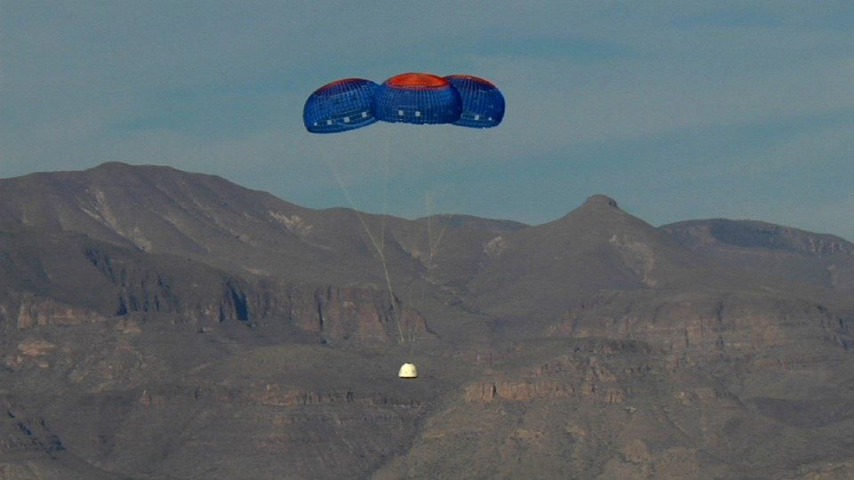
Blue Origin is expanding its test and launch facilities at Cape Canaveral, as reported by NASASpaceflight. This development is part of the company's broader strategy to increase its launch capacity and support a wider range of missions. The expansion includes new infrastructure to accommodate upcoming projects and enhance the efficiency of launch operations. For a comprehensive view of upcoming launches, visit the Orbital Radar Launch Schedule.
What to Watch
While there are no new launches scheduled for today, the space community remains attentive to the ongoing developments at Blue Origin's expanded facilities. Additionally, the current space weather conditions, with a Kp index of 0, suggest a stable environment for satellite operations. Keep an eye on the Starlink Tracker for updates on the numerous Starlink satellites currently active in orbit.
Frequently Asked Questions
What is the DESI Legacy Imaging Survey?
How close did the Tianhui satellites get to each other?
📎 Cite this article
Orbital Radar Newsroom. (2026). DESI Survey Unveils Largest 2-D Map of Universe. Orbital Radar. https://orbitalradar.com/blog/orbital-briefing-2026-05-31"DESI Survey Unveils Largest 2-D Map of Universe." Orbital Radar, 31 May 2026, https://orbitalradar.com/blog/orbital-briefing-2026-05-31.@misc{orbitalradar_orbital_briefing_2026_05_31,
title = {DESI Survey Unveils Largest 2-D Map of Universe},
author = {{Orbital Radar}},
year = {2026},
howpublished = {\url{https://orbitalradar.com/blog/orbital-briefing-2026-05-31}}
}