Sentinel-2: Europe's Copernicus Imaging Workhorse
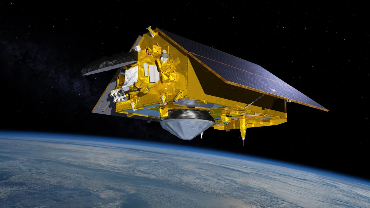
Sentinel-2 is a high-resolution, multi-spectral imaging mission forming part of the European Union's Copernicus programme. Operated by the European Space Agency (ESA), Sentinel-2 provides vital data for land monitoring, including agriculture, forestry, and disaster control.
What is Sentinel-2?
Sentinel-2 is a high-resolution, multi-spectral imaging mission forming part of the European Union's Copernicus programme. Operated by the European Space Agency (ESA), Sentinel-2 provides vital data for land monitoring, including agriculture, forestry, and disaster control. The mission consists of two identical satellites, Sentinel-2A and Sentinel-2B, which work in tandem to cover the Earth's surface every five days. This frequent revisit time is critical for monitoring changes in vegetation and land cover.
Mission and Purpose
The primary objective of Sentinel-2 is to deliver high-resolution optical imagery for various applications such as land cover classification, agricultural monitoring, and disaster management. Each satellite is equipped with a Multi-Spectral Instrument (MSI) that captures images in 13 spectral bands, ranging from visible to shortwave infrared. This capability allows for detailed analysis of vegetation health, soil conditions, and water quality. Sentinel-2 data is freely available to the public, supporting a wide range of scientific and commercial applications.
Orbital Characteristics
Sentinel-2A (NORAD ID: 40697) and Sentinel-2B (NORAD ID: 42063) are in a sun-synchronous orbit, which allows them to maintain consistent lighting conditions for imaging. They orbit at an altitude of approximately 786 kilometres with an inclination of 98.6 degrees. Each satellite completes an orbit in about 100 minutes, enabling them to cover the entire Earth's land surface every five days. This orbit is optimal for capturing consistent, high-quality images necessary for monitoring dynamic environmental changes.
Significance and Legacy
Since their launches in 2015 and 2017, Sentinel-2A and 2B have significantly enhanced our ability to monitor the Earth's surface. Their data has been instrumental in tracking deforestation, managing agricultural lands, and responding to natural disasters such as floods and wildfires. The mission's open data policy has democratized access to high-quality Earth observation data, fostering innovation and research across various fields. Sentinel-2's impact extends beyond Europe, contributing to global efforts in environmental monitoring and sustainable development.
Current Status
As of 2023, both Sentinel-2 satellites continue to operate nominally, providing a steady stream of data for the Copernicus programme. The mission's success has paved the way for future enhancements, including the planned Sentinel-2C and 2D satellites, which aim to ensure continuity of data and improve upon the existing capabilities. For those interested in tracking the satellites' current positions and upcoming passes, the Orbital Radar Satellite Library provides detailed information and real-time updates.
📎 Cite this article
Orbital Radar Newsroom. (2026). Sentinel-2: Europe's Copernicus Imaging Workhorse. Orbital Radar. https://orbitalradar.com/blog/sentinel-2-copernicus-imaging-workhorse"Sentinel-2: Europe's Copernicus Imaging Workhorse." Orbital Radar, 13 August 2026, https://orbitalradar.com/blog/sentinel-2-copernicus-imaging-workhorse.@misc{orbitalradar_sentinel_2_copernicus_imaging_workhorse,
title = {Sentinel-2: Europe's Copernicus Imaging Workhorse},
author = {{Orbital Radar}},
year = {2026},
howpublished = {\url{https://orbitalradar.com/blog/sentinel-2-copernicus-imaging-workhorse}}
}