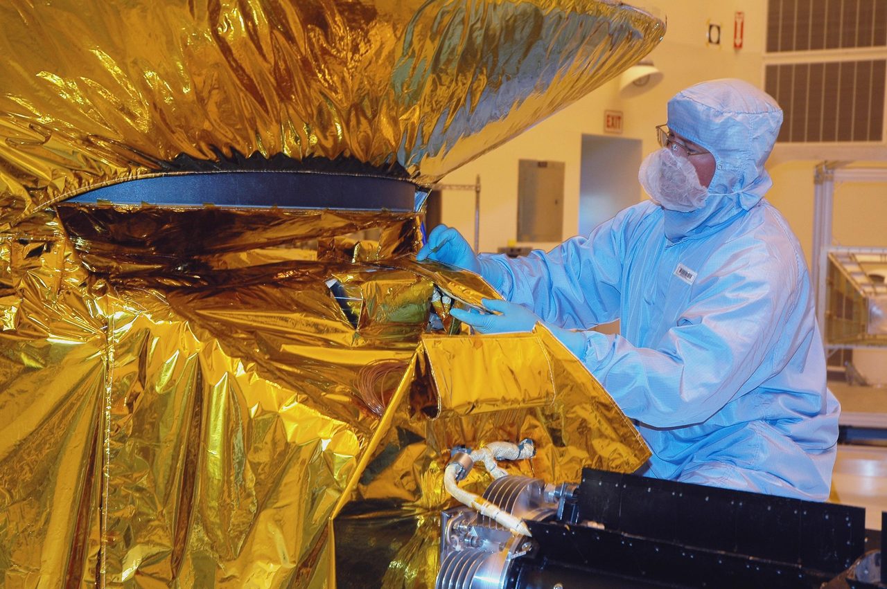
Aqua: Tracking Earth's Water Cycle from Orbit
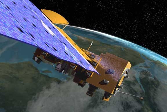
Aqua is a NASA satellite dedicated to the study of Earth's water cycle, launched on 4 May 2002. It forms part of NASA's Earth Observing System (EOS) and is tasked with collecting data on precipitation, evaporation, and the cycling of water.
| Active satellites | 15,745 |
| Catalogued objects | 31,347 |
| Starlink active | 9,940 |
What is Aqua?
Aqua is a NASA satellite dedicated to the study of Earth's water cycle, launched on 4 May 2002. It forms part of NASA's Earth Observing System (EOS) and is tasked with collecting data on precipitation, evaporation, and the cycling of water. The satellite's name, Aqua, is derived from the Latin word for water, reflecting its primary mission focus. Aqua carries six state-of-the-art instruments that provide comprehensive data on the planet's water and energy cycles, atmospheric conditions, and surface temperatures.
Mission and Purpose

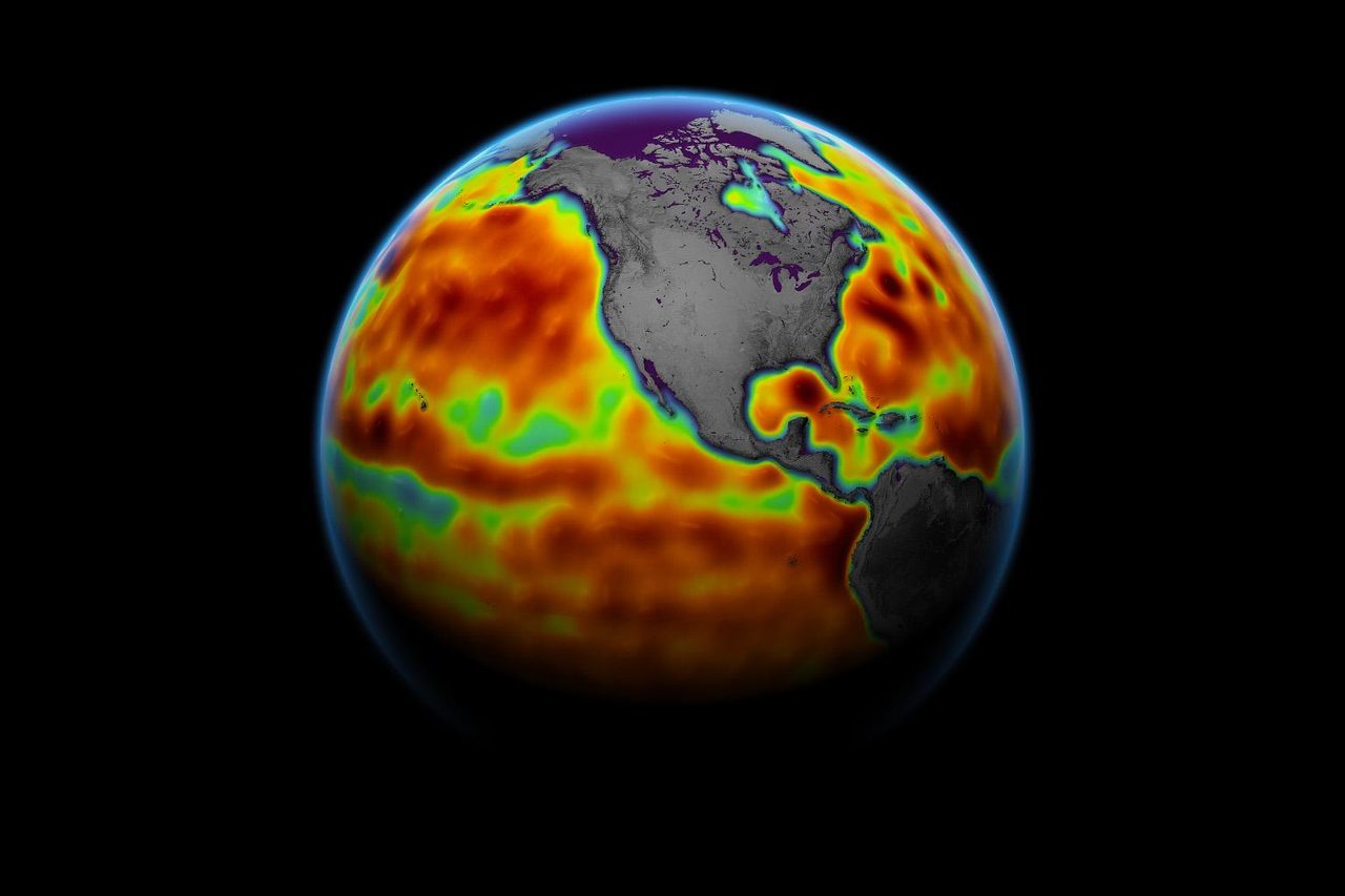
The primary mission of Aqua is to enhance our understanding of the Earth's water cycle, which is crucial for predicting weather and climate patterns. The satellite's instruments, such as the Advanced Microwave Scanning Radiometer for EOS (AMSR-E) and the Moderate Resolution Imaging Spectroradiometer (MODIS), provide data on sea surface temperatures, snow cover, and soil moisture. This information is vital for climate research, weather forecasting, and understanding global environmental changes. Aqua's data supports a wide range of applications, from agriculture to disaster management.
Orbital Characteristics
Aqua operates in a near-polar, sun-synchronous orbit, which allows it to pass over the same point on Earth at the same local solar time each day. This orbit is maintained at an altitude of approximately 705 kilometres, with an inclination of 98.2 degrees. The satellite completes an orbit around Earth approximately every 99 minutes. Its NORAD ID is 27424. This precise orbit enables Aqua to collect consistent data, crucial for long-term climate monitoring and analysis.
Significance and Legacy
Since its launch, Aqua has significantly contributed to our understanding of the Earth's climate and water cycle. The data collected by Aqua has been instrumental in numerous scientific studies and has helped improve weather forecasts and climate models. Aqua's long-term data record is invaluable for tracking changes in the Earth's climate system over time. As part of the A-Train satellite constellation, Aqua works in conjunction with other satellites to provide a comprehensive view of the Earth's atmosphere and surface.
Current Status
As of October 2023, Aqua remains operational and continues to provide valuable data for scientific research. The satellite's instruments are functioning well, and it continues to contribute to NASA's Earth science programme. Aqua's data is freely available to researchers and the public, supporting a wide range of applications and studies. For further information on Aqua's current status and data, interested readers can refer to the Orbital Radar Satellite Library.
📎 Cite this article · data available
Orbital Radar Newsroom. (2026). Aqua: Tracking Earth's Water Cycle from Orbit. Orbital Radar. https://orbitalradar.com/blog/aqua-tracking-earths-water-cycle"Aqua: Tracking Earth's Water Cycle from Orbit." Orbital Radar, 26 September 2026, https://orbitalradar.com/blog/aqua-tracking-earths-water-cycle.@misc{orbitalradar_aqua_tracking_earths_water_cycle,
title = {Aqua: Tracking Earth's Water Cycle from Orbit},
author = {{Orbital Radar}},
year = {2026},
howpublished = {\url{https://orbitalradar.com/blog/aqua-tracking-earths-water-cycle}}
}